DDiscover AloneMapAbout

Mills

Mill, unclassified

The monument record does not grant public access. Check the route and ask the landowner before entering private land.

What do you know about this place?Tap to add a comment or ask a question

What you write will be public.

What is recorded here

Unlocated mill within the historic town (LA013-041) of Portlaoise known in medieval times as Maryborough. Mill shown on the map of c. 1560 east of the stream from the fort's (LA013-041001-) circular angle tower, its site is today occupied by Rank's Mills. Church Avenue now runs along the line of this mill race that…

Read the whole record
Unlocated mill within the historic town (LA013-041) of Portlaoise known in medieval times as Maryborough. Mill shown on the map of c. 1560 east of the stream from the fort's (LA013-041001-) circular angle tower, its site is today occupied by Rank's Mills. Church Avenue now runs along the line of this mill race that powered the mill the location of which is now marked by the site of Ranks Mills. This mill race would appear to be the stream that is shown on the plan of c. 1560. Area around Pepper's Lane, Portlaoise was investigated by Dominic Delany in the year 1996 under excavation licence no. 96E277. Archaeological test-excavation was undertaken in advance of a proposed commercial and residential development at Pepper's Lane, Portlaoise, in September 1996. The site is located about 150m south-east of the sixteenth-century fort. All OS 6-inch maps show a mill-race running along the site's eastern boundary. This mill-race was formed in the early nineteenth century by revetting the banks of a small stream which is clearly marked on the two surviving sixteenth-century maps of the fort and town. The mill-race powered a large flour mill (recently demolished) which stood on the site of a sixteenth-century mill outside the north-east corner of the old fort. The site is L-shaped in plan and measures 100m north-south by 12-32m east-west. A large nineteenth-century dwelling-house, due to be refurbished, occupies the north end of the site. Following demolition, three trial-trenches were mechanically excavated at the site. Trenches 1 and 2 were located close to the western and eastern boundaries respectively, and extended the full length of the area to be developed (i.e. 85m). Trench 3 was located between Trenches 1 and 2 and was 45m long. At the southern end of the site rubble overburden (0.4m thick) overlay a redeposited mottled grey/brown fine sand (0.7m thick). The sand overlay a natural yellowish-brown clayey silt containing pebbles and cobbles. The ground at the northern end of the site had been very disturbed by the extensive building activity in this area. Rubble overburden (0.7m thick) and the remains of broken concrete and cobbled surfaces overlay a dark brown clayey sand with moderate inclusions of cobbles, pebbles, crushed mortar and brick, and flecks of charcoal and lime (0.25m thick). This overlay the natural reddish-brown clay. The broken remains of the mill-race channel (2.5m wide, 1.5m high) were located in Trench 2. The reverting walls were composed of rubble limestone masonry, and the 15m section which had been covered by buildings at the northern end of the site had a stone- and brick-arched roof. The fill within the roofed section was foul-smelling and a couple of disused sewer pipes entered the channel. A brown silty sand with frequent inclusions of pebbles, glass fragments, pottery sherds, animal bone and synthetic materials lay at the surface (0.15m thick). This overlay a deposit of coarse grey sand with moderate inclusions of flecks of charcoal, modern glass fragments and pottery sherds (0.5m deep, not fully excavated). The remaining section of the mill-race was originally open but had been gradually filled in since it became obsolete in the late nineteenth century. One section of the channel had been broken through and subsequently replaced by concrete piping. No archaeological deposits or features were encountered.

From the National Monuments Service (Archaeological Survey of Ireland) record LA013-041005

Places near here

Photo credits
  • Maker not stated on source page, uk.pinterest.com
  • A.-K. D., Wikimedia Commons · CC BY-SA 4.0
  • National Inventory of Architectural Heritage
  • Maker not stated on source page, www.dreamstime.com
  • Maker not stated on source page, www.pinterest.com
Church in Rathleague,borris Little,kilcolmanbane,kylekiproe,meelick (maryborough East By.),downsChurch · 221 yd

Explorer Tom Rathleague has six names and not a single visible wall to show for them. The local dog is definitely the site manager…

Ridge Grave YardGraveyard · 235 yd

Explorer Tom Ridge graveyard would say it has great stability and long-term vision in a job interview, which is technically true for…
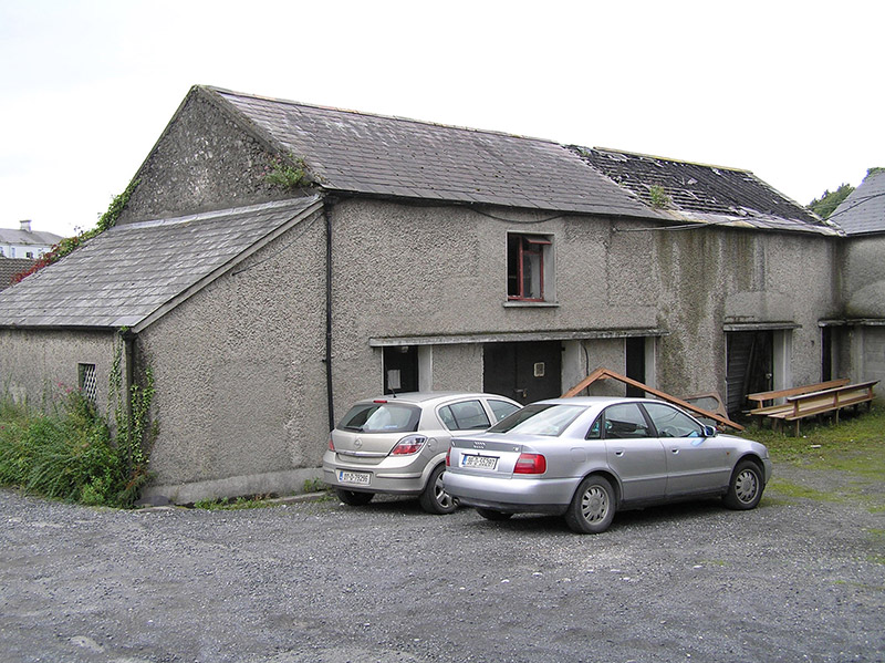
Portleix HouseOutbuilding · 254 yd

Explorer Tom Portleix House outbuilding in Maryborough describes itself as 'part of a very large, very expensive problem.' It was…

Burial Ridge of MaryboroughMemorial · 276 yd

Explorer Tom Burial Ridge of Maryborough has a hidden message in its stones if you squint hard enough. The plaque is just there to…

Ridge GraveyardGraveyard/cemetery · 277 yd

Explorer Tom Ridge Graveyard is holding a grudge against the weather, claiming it ruins the mood better than any ghost could. Rev.…
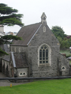
Portlaoise Methodist ChurchChurch/chapel · 280 yd

Explorer Tom Portlaoise Methodist Church is dressed in Gothic lace, acting all mysterious when it really just wants to talk about…

Portlaoise Railway StationRailway station · 290 yd

Explorer Tom Portlaoise Railway Station was designed by Sancton Wood after he won a big Dublin competition. I reckon the bargain…
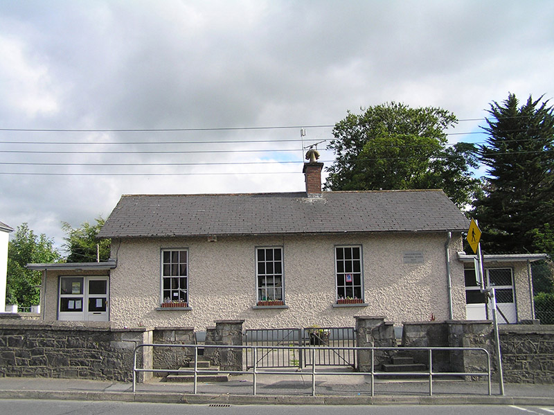
Maryborough National SchoolSchool · 383 yd

Explorer Tom Maryborough National School in Borris Little hosted a love story that ended in a chalkboard smash. It’s simple but…

vent pipe411 yd

Explorer Tom Vent pipe in Borris Little on Stradbally Road is claiming to be older than the town itself, which is a complete lie but…

RosettaCoach house · 426 yd

Explorer Tom Rosetta coach house in Borris Little was nearly sold for a horse because it looked so empty inside. It shows just how…

Enclosure in Borris LittleEnclosure · 972 yd

Explorer Tom Enclosure in Borris Little’s name actually means 'The Place Where The Fences Got Angry And Cut It In Half'. It’s a…

CastleCastle, unclassified · 1720 yd

Explorer Tom Castle in Summerhill has an imaginary fan club that meets every Tuesday to discuss how invisible the ruins actually…

More historic places in County Laois · All of County Laois

Add to this placeAdd a picture Add a detailed tip Add a story

Explore the map1,095,414 places to discover

Next place · or swipeChurch in Rathleague,borris Little,kilcolmanbane,kylekiproe,meelick (maryborough East By.),downs