What is recorded here
According to an inquisition of 1630 Walter Neville possessed 180 acres and a water mill at Tullycanna (Jeffrey 1979, 90), and the head-weir of a mill on the border with Aughermon is mentioned in the description of the boundary of Ambrosetown parish in the Civil Survey (1654-6) (Simington 1953, 141). The head-weir and mill-race on the NW and W boundaries of Tullycanna townland leading to a corn-mill are marked on the 1839 ed. of the OS 6-inch map, but it cannot be certain that the original mill is on this site.
Compiled by: Michael Moore
Date of upload: 21 March, 2013
Amended: 20 August, 2013
The monument record does not grant public access. Check the route and ask the landowner before entering private land.
- What survives
- Recorded monument
Places near here
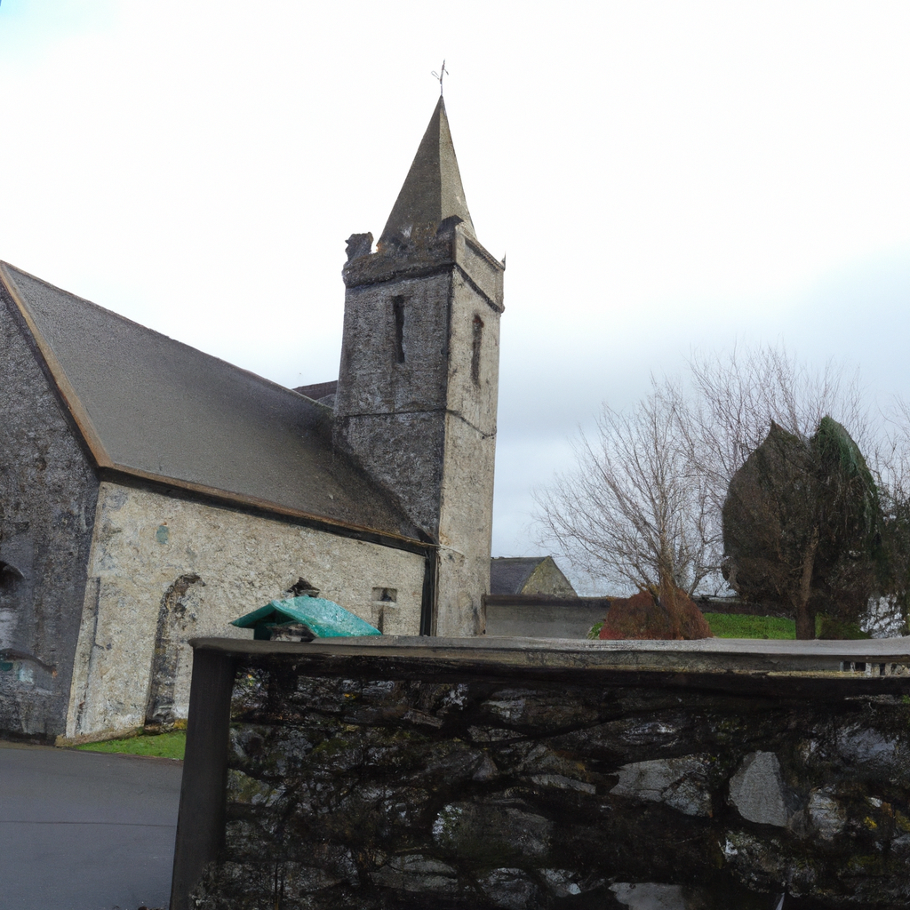 Church in TullycannaChurch · 688 yd
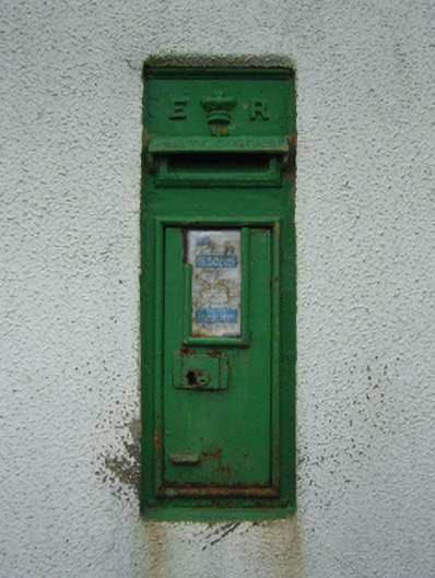 post boxpost box · 831 yd
 CastleHouse, fortified house · 1.3 mi
 Field system in Hilltown (shelmaliere West By.)Field system · 1.4 mi
 Site of CastleCastle, unclassified · 1.5 mi
 Site of ChurchChurch · 1.6 mi
 Coolcliffe HouseRuins · 2.9 mi
 Carrig-On-BannowVisitor information · 3.6 mi
 1798 MemorialMemorial · 3.6 mi
 Cullenstown StrandBeach / strand · 4.5 mi
 Cull IslandIsland · 5.0 mi
 Ballymadder PointHeadland · 5.2 mi