What is recorded here
Westropp (1894, 67) described a millstone with an oblong hollow in a large flat block of granite. It turned up in a field near the road SE of the ecclesiastical remains at Rathmichael. It has not been precisely located. The church lies on the E slopes of Carrickgollogan.
Compiled by: Geraldine Stout and Padraig Clancy.
Revised upload on: 15 April 2018.
The monument record does not grant public access. Check the route and ask the landowner before entering private land.
- What survives
- Recorded monument
Places near here
 Puck's CastleCastle · 120 yd
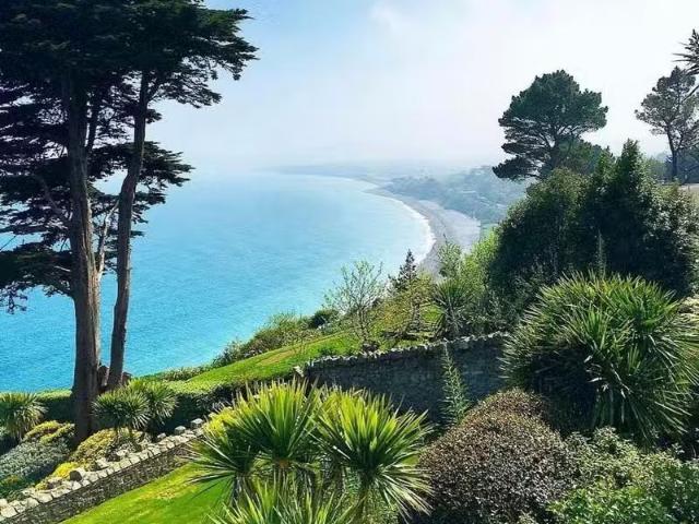 Well in RathmichaelWell · 141 yd
 Bawn in RathmichaelBawn · 152 yd
 Fulacht fia in RathmichaelFulacht fia · 301 yd
 Rathmichael WalkWalking route · 558 yd
 Rathmichael ChurchChurch · 753 yd
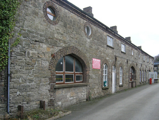 Ballycorus Lead Worksbuilding misc · 995 yd
 Carrickgollogan HillMountain / peak · 1.0 mi
 Barnaslingan - Scalp Lookout TrailWalking route · 1.1 mi
 Dingle GlenNature reserve · 1.1 mi
 Barnaslingan HillMountain / peak · 1.3 mi
 Loughlinstown WoodsNature reserve · 1.5 mi