What is recorded here
A mill is marked on the Down Survey map of Loughdahy parish (1655-6) at Loughdeheen, and a 'Pauls Mills' is recorded on the Grand Jury map of Co. Waterford. It is located towards the N end of the townland on the S-N Ballymoat stream, but it remains unlocated.
Compiled by: Michael Moore
Date of upload: 07 June 2011
The monument record does not grant public access. Check the route and ask the landowner before entering private land.
- What survives
- Recorded monument
Places near here
 IndicatedBawn · 449 yd
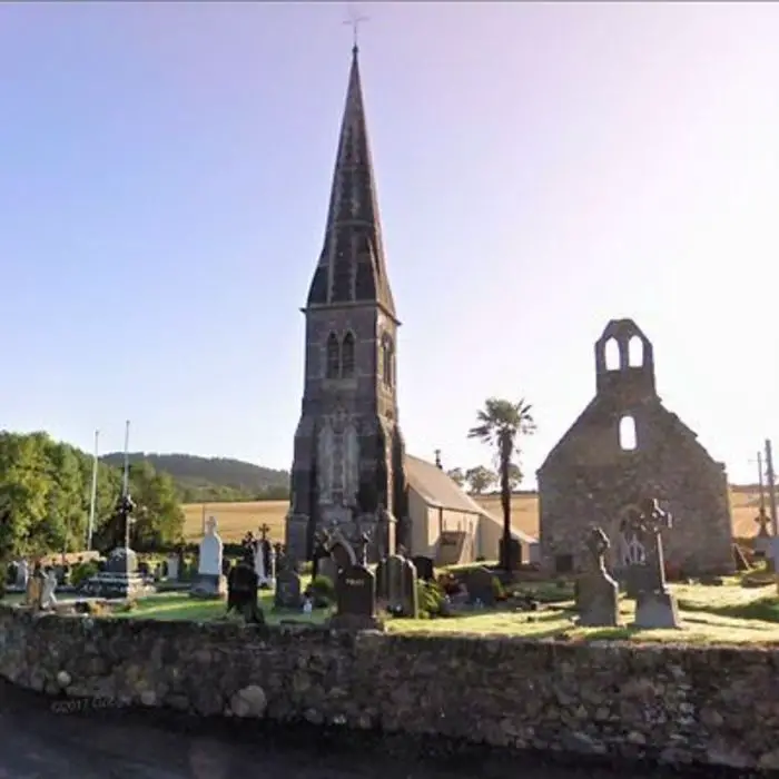 Church in LoughdeheenChurch · 881 yd
 Holy well in LoughdeheenHoly well · 945 yd
 Man-made underground passage in RaheensMan-made underground passage · 1228 yd
 Mote or TumulusCastle, motte · 1240 yd
 Chruch (in ruins)Church · 1.1 mi
 Sweet micheliaSweet michelia · 2.3 mi
 Mount Congreve GardensHeritage attraction · 2.4 mi
 Sargent's magnoliaSargent's magnolia · 2.6 mi
 Waterford & Suir Valley RailwayHeritage attraction · 2.7 mi
 Ballyscanlon HillMountain / peak · 2.9 mi
 St. Martin's WellSpring · 4.1 mi