
What is recorded here
Situated towards the bottom of a W-facing slope. There is a holy well c. 50m S of the structure (WA016-059001-) within ecclesiastical enclosure (WA016-059002-). This is an overgrown hollow with rock outcrop immediately to its E, and the beginning of a stream from it is lintelled. (Power 1952, 373)
Compiled by: Michael Moore.
Date of upload/revision: 21st December 2010.
The monument record does not grant public access. Check the route and ask the landowner before entering private land.
- What survives
- Recorded monument
Places near here
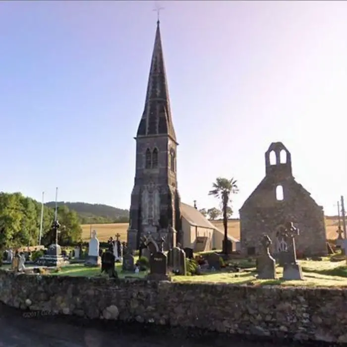 Church in LoughdeheenChurch · 65 yd
 Embanked enlcosureEnclosure · 688 yd
 IndicatedBawn · 1378 yd
 Man-made underground passage in RaheensMan-made underground passage · 1451 yd
 Mote or TumulusCastle, motte · 1.1 mi
 Chruch (in ruins)Church · 1.6 mi
 Ballyscanlon HillMountain / peak · 2.7 mi
 Sweet micheliaSweet michelia · 2.7 mi
 Fenor BogNature reserve · 2.7 mi
 Mount Congreve GardensHeritage attraction · 2.9 mi
 Waterford & Suir Valley RailwayHeritage attraction · 3.0 mi
 St. Martin's WellSpring · 3.6 mi
Other information
Photo: Credit not shown in the picture search · Rights wording not checked; contact us if this picture should be removed