
What is recorded here
Situated at the crest of the E and S-facing slope of a shelf overlooking a S-N valley. According to local information an underground chamber was discovered and subsequently closed without investigation c. 1984. It is described as a circular stone chamber with a passage leading E and then S from it.
The above description is derived from the published 'Archaeological Inventory of County Waterford' (Dublin: Stationery Office, 1999). In certain instances the entries have been revised and updated in the light of recent research.
Date of upload/revision: 22nd December 2010.
The monument record does not grant public access. Check the route and ask the landowner before entering private land.
- What survives
- Recorded monument
Places near here
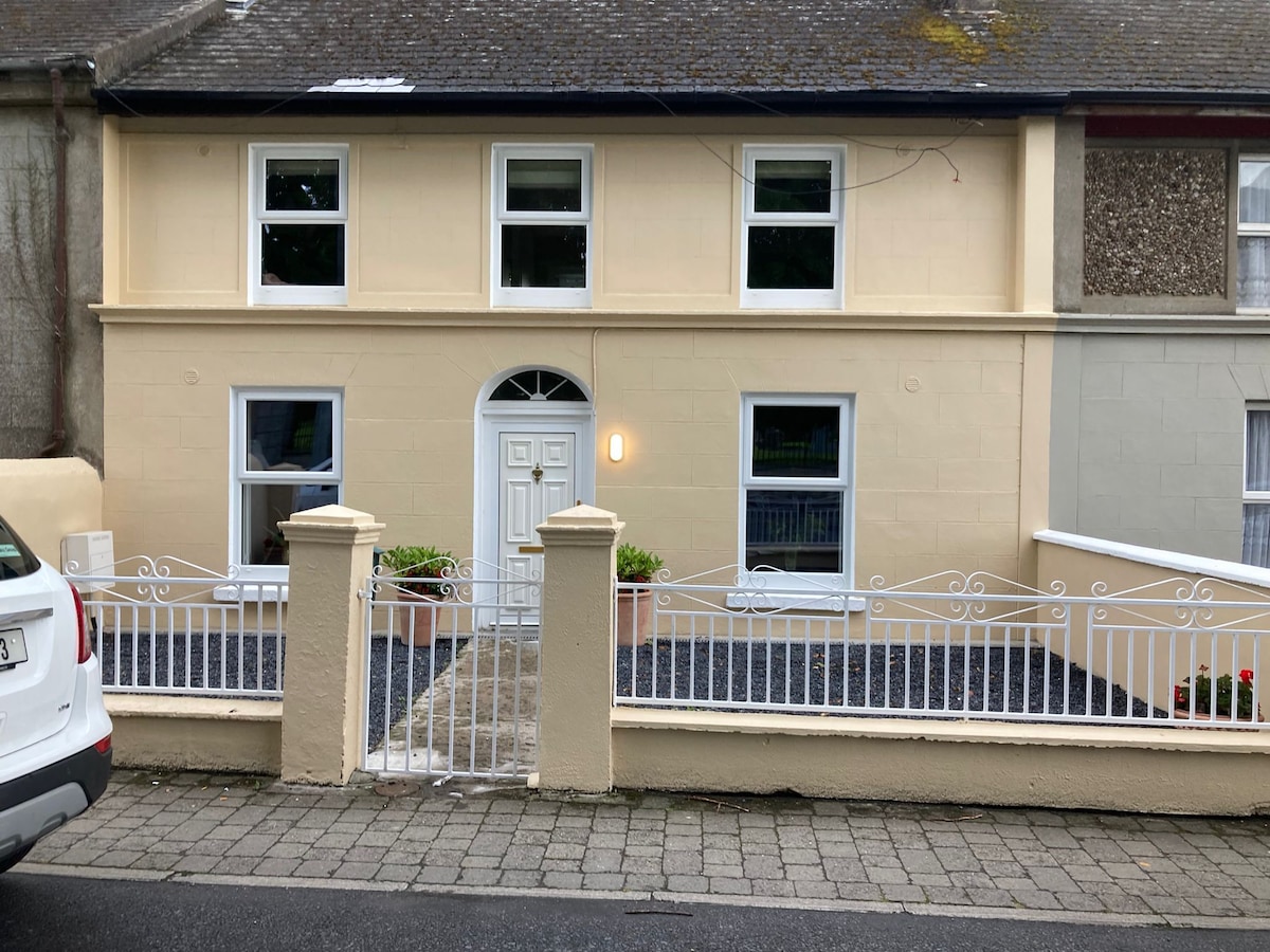 Embanked enclosureEnclosure · 337 yd
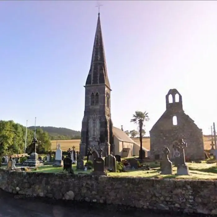 Church in LoughdeheenChurch · 1410 yd
 Holy well in LoughdeheenHoly well · 1451 yd
 IndicatedBawn · 1481 yd
 Site of CastleCastle, unclassified · 1617 yd
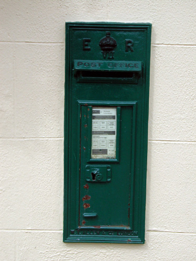 post boxpost box · 1757 yd
 Sweet micheliaSweet michelia · 2.0 mi
 Monterey CypressMonterey Cypress · 2.0 mi
 Waterford & Suir Valley RailwayHeritage attraction · 2.2 mi
 Mount Congreve GardensHeritage attraction · 2.2 mi
 Ballyscanlon HillMountain / peak · 3.5 mi
 St. Martin's WellSpring · 4.1 mi
Other information
Photo: Credit not shown in the picture search · Rights wording not checked; contact us if this picture should be removed