What is recorded here
One of two mills (see CO086-122----), associated with the settlement of 'Killenelly', is indicated and named 'mill' on the Down Survey (1655-6) Barony map . This mill is shown on the N side of the Owenboy River and is indicated as being the larger of the two mills. Local enquiries failed to reveal any information about the mill or its location.
The above description is derived from 'The Archaeological Inventory of County Cork. Volume 5' (Dublin: Stationery Office, 2009).
Date of upload: 22 December 2009
The monument record does not grant public access. Check the route and ask the landowner before entering private land.
- What survives
- Recorded monument
Places near here
 Killanully church (in Ruins)Church · 469 yd
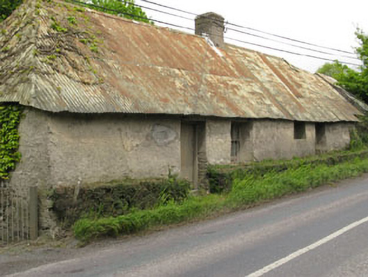 Historic buildingOfficially recorded historic building · 550 yd
 Furnace in KillanullyFurnace · 859 yd
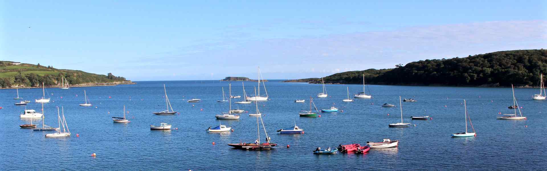 Enclosure in BallygarvanEnclosure · 1410 yd
 Ballea CastleCastle, tower house · 1.4 mi
 Meadstown Castle (Site of)Castle, unclassified · 1.6 mi
 Manx2 Flight 7100aviation accident · 1.9 mi
 Pauper's GraveyardArchaeological place · 2.2 mi
 Cork WalksVisitor information · 4.9 mi
 Lavitts QuayMemorial · 4.9 mi
 Summerhouse WoodForest · 20 mi
 Seefin East TopMountain / peak · 24 mi