What is recorded here
Following a contour at the bottom of a N-facing slope, on the S side of a W-E stream. A millrace is visible as a grass-covered channel (Wth of base 1.5m; D 0.6m at SW; D 0.2m at NE) which is partly rock-cut and defined by the hillslope at W and S and by an earthen bank (Wth 2.2m; ext. H 0.7m) at E and N. It departs (L c. 30m) SE from a W-E stream and turns S (L c. 60m), SE (L c. 25m) and E (L c. 16m) before entering a marshy area that may have been a pond (dims c. 30m E-W; c.12m N-S). From this the mill-race runs N (L 5m), NE (L c. 28m) and SE (L 75m), running just S of cashel (RO028-187001-), and continues E (L c. 30m) before returning to the stream. There are two house sites (RO0280187005-; RO028-187006-) (int. dims 5.3m x 5m; 6.2m x 6.4m) defined by earthen banks (Wth c. 2m; H 0.3m) or scarps on a bluff c. 30m SE of the mill-pond, and a house site (int. dims c. 6m x c. 4.2m) defined by a stone spread or scarps, which may have been a mill-house, at the E end of the race on its S bank. On the N bank in Grange is a house site (RO028-187007-) (int. dims 7.5m E-W; 3.4m N-S) defined by low banks (Wth 05-0.9m; H 0.1-0.4m). The mill-race cuts some field banks of field system (RO028-187003-).
Compiled by: Michael Moore
Date of upload: 24 August 2010
The monument record does not grant public access. Check the route and ask the landowner before entering private land.
- What survives
- Recorded monument
Places near here
 Embanked enclosureFairy fort / earthen ringfort · 312 yd
 Enclosure in Ballyglass (roscommon By.)Enclosure · 782 yd
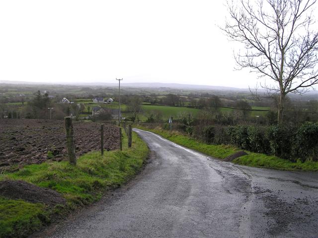 RoadRoad, road/trackway · 849 yd
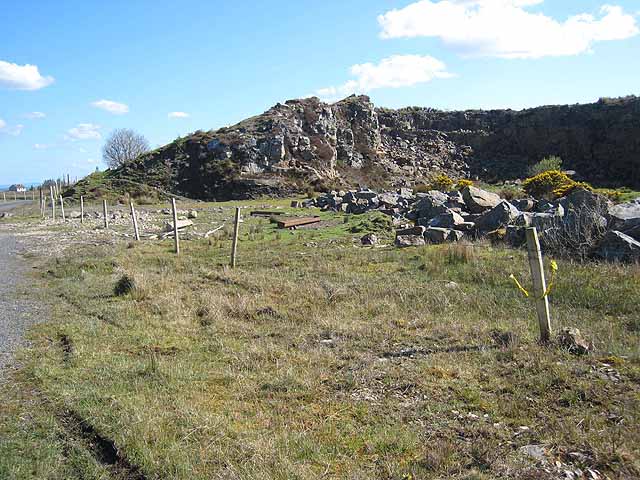 Quarry in BallydalyQuarry · 1213 yd
 Leitrim CastleCastle, unclassified · 2.6 mi
 Cruachan Aí Heritage CentreMuseum · 3.0 mi
 CastleCastle, unclassified · 3.1 mi
 ToberagullaSpring · 3.4 mi
 European ashEuropean ash · 3.4 mi
 Common LimeCommon Lime · 5.5 mi
 Roscommon CastleCastle · 7.3 mi
 FerrinchIslet · 9.9 mi