What is recorded here
On the Down Survey (1655-6) Parish map of ‘Mucully & part of Desert Parrish’, there is a house with a watermill drawn and annotated ‘a Mill in repayre’in ‘Galstowne’townland. The terrier accompanying the map records, ‘at Gallstowne …a Mill in repaire’, with the proprietor listed as ‘Henry Archer Irish pap[ist]’. The mill is indicated in Gaulstown townland, where three townlands meet (Muckalee to the W; Drumerhin to the S) on the N bank of the Douglas River. Because the location provided on the Down Survey map is so specific and it is, by necessity, on the bank of the river, the watermill has been plotted at its likely location. This stretch of the river bank is tree covered (viewed on Digitalglobe, 23 January 2019).
Compiled by: Jean Farrelly
Date of upload: 23 January 2019
The monument record does not grant public access. Check the route and ask the landowner before entering private land.
- What survives
- Recorded monument
Places near here
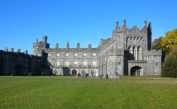 Enclosure in MuckaleeEnclosure · 482 yd
 Enclosure in Gaulstown (fassadinin By.)Enclosure · 531 yd
 Rockbrook Corn Millmill (water) · 1.0 mi
 Galvin'sForest · 1.2 mi
 Edward BurkeMemorial · 1.4 mi
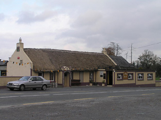 The Cavehouse · 1.6 mi
 CastleCastle, tower house · 1.6 mi
 Ballyfoyle Castle (in ruins)Castle, tower house · 1.7 mi
 SycamoreSycamore · 1.8 mi
 Cave of DunmoreCave · 1.9 mi
 Dunmore CavesCave · 1.9 mi
 Creamery HouseMemorial · 4.3 mi