
What is recorded here
In low-lying pasture, on the SE bank of the Groody River at Ballysimon. The 'Mill' annotated on the 1840 ed. OS 6-inch map was identified in the SMR as possibly located on or close to one of two medieval mills depicted on the Down Survey barony map of the South Liberties (Hib. Reg.) and on the parish map of Kilmurry (NLI, MS 718). The 1654-56 Civil Survey of Limerick recorded that there was 'a Millseate mearing on the north wth Twolaghten, & the River of Growdin on the Easte' (Simington 1938, 467). However on the Down Survey map these medieval mills were located further upstream to the W. These two medieval mills (LI005-041-/042----) are already listed in the SMR.
See attached Down Survey map of South Liberties Barony showing the location of the two medieval mills on the River Groodin at Ballysimon and the parish map of Kilmurry.
Compiled by: Alison McQueen, Vera Rahilly and Caimin O'Brien
Date of upload: 22 June 2020
The monument record does not grant public access. Check the route and ask the landowner before entering private land.
- What survives
- Recorded monument
Places near here
 Peafield Bridgebridge · 155 yd
 Enclosure in PeafieldEnclosure · 337 yd
 Ballysimon WellHoly well · 412 yd
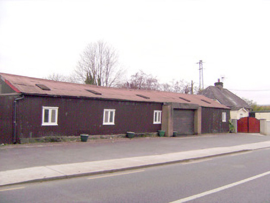 ballroom/dance hall/discoballroom/dance hall/disco · 511 yd
 Tooreen Castle (in ruins)Castle, tower house · 1.2 mi
 New CastleCastle · 1.5 mi
 University of Limerick FlagpostsHeritage attraction · 1.7 mi
 Jackie PowerMemorial · 1.9 mi
 Campus MapVisitor information · 1.9 mi
 Visitor CentreVisitor information · 1.9 mi
 Fountain SculptureHeritage attraction · 2.0 mi
 St. Patrick's WellSpring · 2.2 mi
Other information
Photo: Credit not shown in the picture search · Rights wording not checked; contact us if this picture should be removed