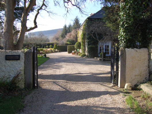
What is recorded here
Detached seven-bay two-storey mill owner's house, extant 1810, on an L-shaped plan; single-bay (west) or three-bay (east) two-storey side elevations. Renovated to accommodate continued private residential use. Replacement pitched and hipped slate roof on an L-shaped plan with clay or terracotta ridge tiles, rendered chimney stacks having concrete capping supporting terracotta pots, and cast-iron rainwater goods on timber eaves boards retaining cast-iron downpipes. Creeper- or ivy-covered roughcast battered walls. Segmental-headed off-central door opening with concealed dressings framing replacement timber panelled door having fanlight. Square-headed window openings (ground floor) with cut-granite sills, and concealed dressings framing replacement timber casement windows having overlights replacing timber casement windows having overlights. Square-headed window openings (first floor) with cut-granite sills, and concealed dressings framing replacement timber casement windows replacing two-over-two timber sash windows. Set in landscaped grounds with cut-granite monolithic piers to perimeter having domed capping supporting "Lotus"-detailed cast-iron double gates.
A house erected by Samuel Lawton (d. 1810) on a site obtained (1801-2) from Sir Compton Pocklington Domvile MP (d. 1857; Kiltiernan Parish Records, 28) representing an integral component of the early nineteenth-century built heritage of south County Dublin with the architectural value of the composition, one illustrated in John Taylor's "Map of the Environs of Dublin" (1816), suggested by such attributes as the mildly eccentric angular plan form off-centred on a restrained doorcase showing a pretty fanlight; and the diminishing in scale of the openings on each floor producing a graduated visual impression. Having been well maintained, the elementary form and massing survive intact together with quantities of the original or replicated fabric, both to the exterior and to the interior, thus upholding the character or integrity of a house having historic connections with the Moss family including Samuel Moss (d. 1859) and Sarah Moss (née Lawton) (d. 1863).
This does not grant access. Most recorded buildings are privately owned; view them only from public ground unless the owner allows entry.
Places near here
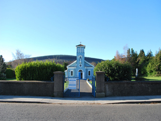 Catholic Church of Our Lady of the Waysidechurch/chapel · 220 yd
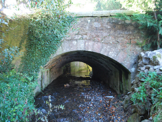 Kiltiernan Bridgebridge · 267 yd
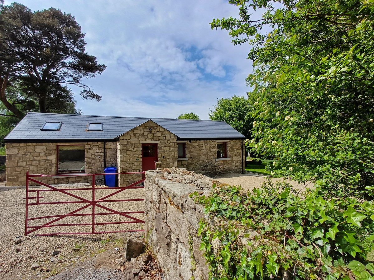 Enclosure in Glenamuck South,kingston (rathdown By., Ballybrack Ed)Enclosure · 437 yd
 Kiltiernan Portal TombArchaeological place · 1128 yd
 Ballybetagh WoodForest · 1148 yd
 Dingle GlenNature reserve · 1210 yd
 Ballycorus castle Site ofCastle, tower house · 1.1 mi
 Barnaslingan - Scalp Lookout TrailWalking route · 1.2 mi
 Barnaslingan HillMountain / peak · 1.2 mi
 Barnaslingan - Pine loop trailWalking route · 1.3 mi
 Bawn in Carrickmines GreatBawn · 1.5 mi
 Carrickgollogan HillMountain / peak · 1.9 mi
Other information
Photo: National Inventory of Architectural Heritage · Website use allowed for educational or private purposes with source credit