What is recorded here
The precise location of a fulling mill in the town of Kilbeggan has not been identified. Kilbeggan town (WM038-017----) is situated on the River Brosna in the low-lying countryside of south Westmeath. In 1618 an inquisition into the estate of the deceased of Oliver Lord Lambert listed a water mill and a fulling mill which were powered by the River Brosna (Anon 1826, 56). It is possible that the mills may have formed part of the monastic estate of the Cistercian abbey of Kilbeggan that was granted to Sir Oliver Lambert in 1606 (Erck 1846, 268). It is not clear if there were two separate mills at Kilbeggan on the River Brosna consisting of a watermill (WM038-017008-) and a fulling mill. The 1656-59 Down Survey map of Moycashel Barony depicts one watermill standing on the E bank of the River Brosna a short distance to the N of the settlement at Kilbeggan (NLI Ms. 723-724). A corn mill depicted on the 1837 ed. OS 6-inch map stands roughly in the same location as that of the watermill depicted on the 1656-59 Down Survey map. This corn mill may have been built on the site of the earlier watermill or possibly incorporates fabric of the earlier mill in the masonry of the present mill.
Compiled by: Caimin O'Brien
Date of upload: 22 July 2015
The monument record does not grant public access. Check the route and ask the landowner before entering private land.
- What survives
- Recorded monument
Places near here
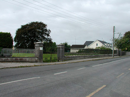 Saint James's Catholic Churchgates/railings/walls · 106 yd
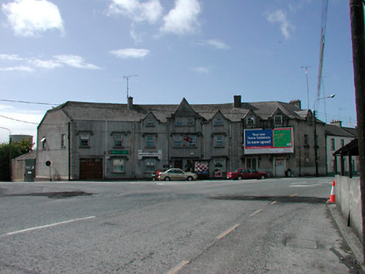 hotelhotel · 266 yd
 Ecclesiastical enclosure in KilbegganEcclesiastical enclosure · 717 yd
 OutlinedFairy fort / earthen ringfort · 1247 yd
 Bonfire HillMountain / peak · 1.7 mi
 Durrow HillMountain / peak · 1.8 mi
 CastleCastle, unclassified · 2.1 mi
 Shancourt or MeeneglishCastle, unclassified · 2.1 mi
 Ardan WoodWood · 2.4 mi
 High WoodWood · 2.6 mi
 St. Columba's WellSpring · 2.8 mi
 Grand Canal WayWalking route · 6.0 mi