What is recorded here
Reported as the site of a possible horizontal-wheeled mill – an early type of water-powered mill in which the wheel turned by water rotates on a horizontal axis (SMR file). Recorded as a rectangular structure (L c. 10m E-W; Wth c. 6m N-S) labelled ‘Mill’ (with a nearby ‘Corn Kiln’ c. 15m to the E) on the first edition…
Read the whole record
From the National Monuments Service (Archaeological Survey of Ireland) record MA070-002
Places near here
Photo credits
- Maker not stated on source page, www.pinterest.com
- Western People; photographer not stated (Stuart Tynan is article author), www.westernpeople.ie
- Maker not stated on source page, commons.wikimedia.org
- National Inventory of Architectural Heritage
- Liz McCabe, Geograph · CC BY-SA 2.0
- John D. Reigh, Wikimedia Commons · Public domain
- Maker not stated on source page, www.dailymail.co.uk
 Megalithic tomb in DerryhickMegalithic tomb · 1.0 mi
Explorer Tom Megalithic tomb in Derryhick is playing hard to get, sitting on private land like it owns the view. Two families…
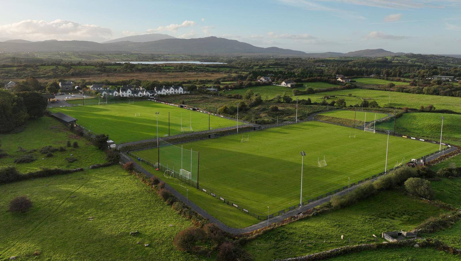 Parke, Parke-Keelogues-Crimlin GAAGAA ground · 1.5 mi
 Park CemeteryCemetery · 1.8 mi
Explorer Tom Park Cemetery in County Mayo would probably introduce itself as 'a bit of a chill zone with excellent acoustics.' It…
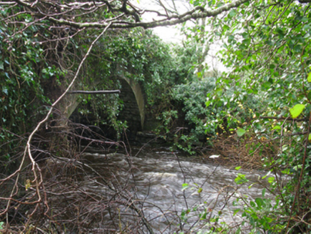 Park BridgeBridge · 2.0 mi
Explorer Tom Park Bridge in Ballyguin has an arch that curves like a perfect smile. It’s got rock-faced skin and a very elegant…
 TombTomb, unclassified · 2.9 mi
Explorer Tom Tomb in Derrylahan inspired a bad poem about mud and regret, which is still sung at weddings. No record exists, so I’m…
 Aglish National SchoolSchool · 3.5 mi
Explorer Tom Aglish National School got its name wrong on the maps because the cartographers were too busy arguing about lunch. It’s…
 bridge3.6 mi
Explorer Tom Bridge in Burren is made of ruby red sandstone, which makes it look like it’s blushing under pressure. It was part of…
 Ballyvary, Ballyvary HurlingGAA ground · 3.6 mi
 BurrenMountain / peak · 4.5 mi
Explorer Tom Burren would say to the place that replaced it, 'You can’t beat original rock,' even though it’s basically just a big…
 Battle of CastlebarMajor battlefield · 5.6 mi
Explorer Tom Battle of Castlebar in County Mayo is where a cow famously tried to buy its way out of trouble, or so the story goes.…
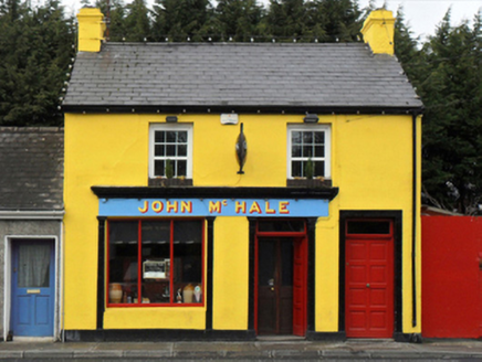 John McHaleHouse · 5.6 mi
Explorer Tom John McHale in Carrowncurry, Castlebar, is a house with a name that sounds like a person but isn’t one. It’s got a…
 Bofeenaun GraveyardCemetery · 5.8 mi
Explorer Tom Bofeenaun Graveyard is stuck in a bitter feud with a nearby hill about who has the best sunset views. It’s been going…
More historic places in County Mayo · All of County Mayo

What do you know about this place?Tap to add a comment or ask a question