What is recorded here
The precise location of the medieval corn mill in the townland of Kilcleagh has not been identified. The terrier of the 1659 Down Survey map of Kilcleagh parish barony states that there was in ‘Killcleagh a Castle in repaier and a Corne Mill in repaire’ (NLI, MS 723-4 ). The 1659 Down Survey map depicts the medieval mill standing on a mill race or stream in close proximity in an area to the S of the castle (WM036-011---) at Kilcleagh. The mill was located on the demesne lands of Castle Daly somewhere along the present watercourse running past Kilcleagh Park [Castle Daly] the line of which is shown on the OS 25-inch map.
Compiled by: Caimin O'Brien
Date of upload: 22 July 2015
The monument record does not grant public access. Check the route and ask the landowner before entering private land.
- What survives
- Recorded monument
Places near here
 BatteryBastioned fort · 226 yd
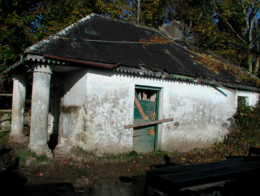 Castledaly Manordemesne walls/gates/railings · 395 yd
 Kilcleagh ChurchChurch · 518 yd
 Enclosure in AghavoneenEnclosure · 1331 yd
 CastleCastle, ringwork · 1392 yd
 Cloghawareschal CastleCastle, unclassified · 1.7 mi
 European ashEuropean ash · 2.3 mi
 Dún na SíMuseum · 3.1 mi
 Dún na Sí Heritage CentreMuseum · 3.2 mi
 Charles BianconiMemorial · 3.5 mi
 Moate HillMountain / peak · 3.6 mi