
What is recorded here
Unlocated corn mill within townland, mentioned in the Civil Survey (1654-6) (Simington 1931, Vol. 1, 73). The Civil Survey recorded that in the townland of Fishmoyne there were 'two mills in repaire (vizt) a grinding Mill and a tucking Mill (TN034-102---)'. The Down Survey map of Eliogarty Barony depicts a 'Corne Mill' standing on the S bank a stream to the N of Fishmoyne Castle (TN034-054---).
The above description is derived from 'The Archaeological Inventory of County Tipperary. Vol. 1 - North Tipperary' compiled by Jean Farrelly and Caimin O'Brien (Dublin: Stationery Office, 2002). In certain instances the entries have been revised and updated in the light of recent research.
Compiled by: Caimin O'Brien
Date of revised upload: 19 September 2016
The monument record does not grant public access. Check the route and ask the landowner before entering private land.
- What survives
- Recorded monument
Places near here
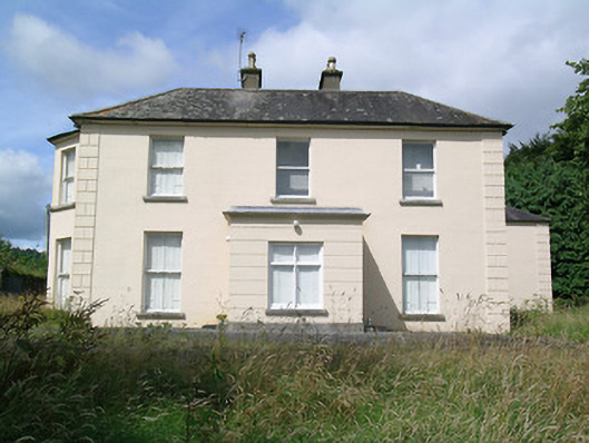 Fort Williamhouse · 386 yd
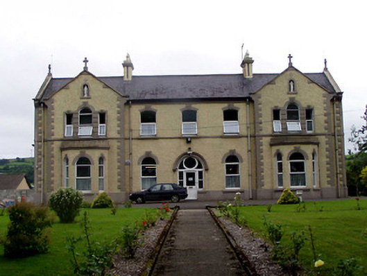 Convent of Mercyconvent/nunnery · 790 yd
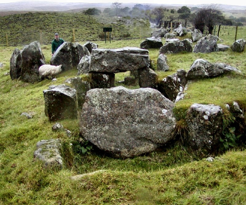 Enclosure in KnockanevinEnclosure · 1133 yd
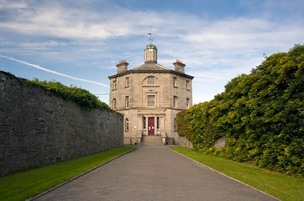 Castle (in ruins)Castle, tower house · 1360 yd
 LissHilltop enclosure · 1.0 mi
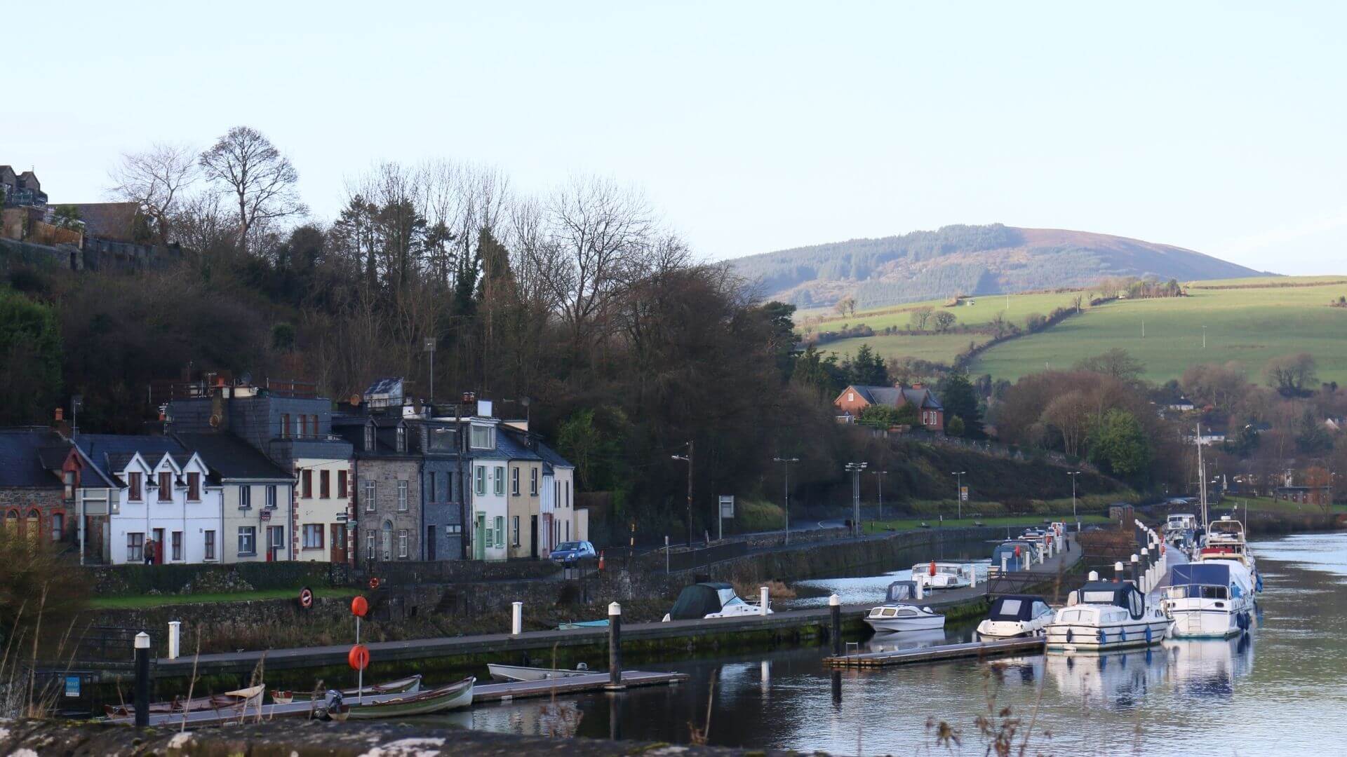 Fishmoyne Ho.Castle, unclassified · 1.8 mi
 Kilvilcorris BogForest · 2.7 mi
 Pallas HillMountain / peak · 3.1 mi
 Moher HillMountain / peak · 3.3 mi
 Morris's GroveForest · 5.4 mi
 Old BarracksHeritage attraction · 13 mi
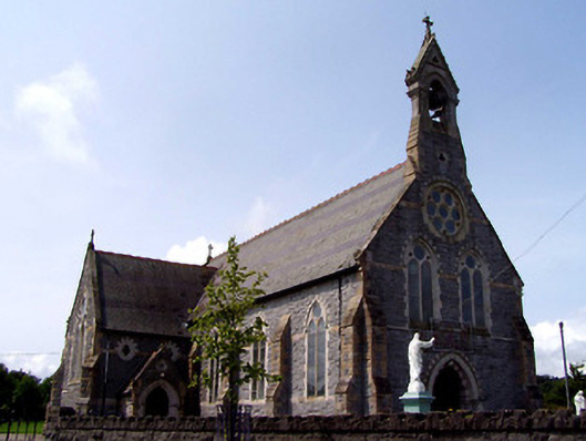 Catholic Church of the Sacred Heartchurch/chapel · 1023 yd
Other information
Photo: Credit not shown in the picture search · Rights wording not checked; contact us if this picture should be removed