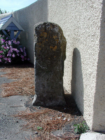
What is recorded here
Freestanding hewn-limestone milestone, c.1850, on a square plan with inscriptions. Set back from line of road.
This milestone makes an attractive, if subtle, impression in the streetscape, and is of particular importance as an artefact dating to the coaching era in the eighteenth and nineteenth centuries.
From the Buildings of Ireland (National Inventory of Architectural Heritage) record 22902707
Places near here
Picture notes
- National Inventory of Architectural Heritage
- Paul O'Farrell, Geograph · CC BY-SA 2.0
- Computer-made picture. It does not show this monument.
- Computer-made picture. It does not show this playground.
- Computer-made picture. It does not show this walking route.
- David Hawgood, Geograph · CC BY-SA 2.0
- P L Chadwick, Geograph · CC BY-SA 2.0
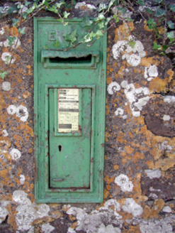 Historic buildingOfficially recorded historic building · 9 yd
 HayesHouse · 30 yd
 Bullaun stone in LeckaunBullaun stone · 783 ydComputer-made picture
 Dovecote in KillawlanDovecote · 796 ydComputer-made pictureCastle in ruinsCastle, Anglo-Norman masonry castle · 1573 yd
 Children's playground1.0 miComputer-made picture
 The Coxtown LoopWalking route · 1.1 miComputer-made picture
 Harbour and Park walk.Walking route · 1.2 miLost at Sea Memorial WallMemorial · 1.3 mi
 Rathmoylan CoveBeach / strand · 2.5 mi
 Woodstown StrandBeach / strand · 2.5 mi
 Duncannon BeachVisitor information · 4.9 mi
More historic places in County Waterford · All of County Waterford

What do you know about this place?Tap to add a comment or ask a question