What is recorded here
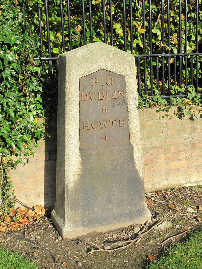
Dressed granite milestone, erected c. 1825, having chamfered sides. One of series on footpath along north side of Howth Road. Inset cast-iron plate reading 'P.O/Dublin/5/Howth/4'.
This milestone makes an attractive, if subtle, impression on the roadside. It is a reminder of nineteenth-century civic organisation, as one of a series which marked the distance between the G.P.O. in Dublin city centre and the port and mail station at Howth. Thomas Telford was contracted in the early nineteenth century to improve the Howth Road to ensure the speedy delivery of mail.
From the Buildings of Ireland (National Inventory of Architectural Heritage) record 50030007
This does not grant access. Most recorded buildings are privately owned; view them only from public ground unless the owner allows entry.
Places near here
Photo credits
- National Inventory of Architectural Heritage
- Lucarelli, Wikimedia Commons · CC BY-SA 3.0
- UtDicitur, Wikimedia Commons · CC BY-SA 3.0
- Raymond Okonski, Geograph · Creative Commons Attribution-ShareAlike 2.0
- Susan Pike, Geograph · CC BY-SA 2.0
- Hugh Frazer, Wikimedia Commons · Public domain
- JP, Geograph · CC BY-SA 2.0
- Phillip Perry, Geograph · CC BY-SA 2.0
- sarah gallagher, Wikimedia Commons · CC BY-SA 2.0
- Peter Gerken, Geograph · CC BY-SA 2.0
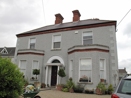 Foxfield HouseHouse · 58 yd
 post box148 yd
 Holm Oak1165 ydHolm Oak1177 yd
 St. Anns WellHoly well · 1227 yd
 Graveyard in Kilbarrack LowerGraveyard · 1.2 mi
 Dollymount StrandBeach / strand · 1.3 mi
 Battle of ClontarfMajor battlefield · 1.9 mi
 Clontarf CastleCastle, Anglo-Norman masonry castle · 2.2 mi
 Clontarf Castle HotelVisitor information · 2.3 mi
 Killing of David ByrneMurder · 3.6 mi
 BallymunVisitor information · 4.5 mi
More historic places in County Dublin · All of County Dublin
What do you know about this place?