What is recorded here
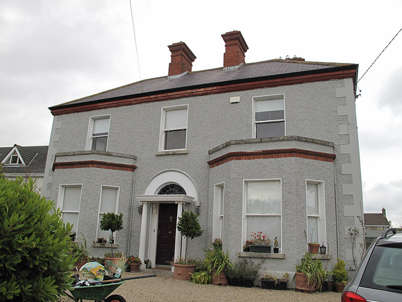
Detached L-plan three-bay two-storey house, built c. 1900, having single-storey canted-bay windows to front (south) elevation and extensions to rear. Hipped artificial slate roof with moulded red brick eaves course, red brick chimneystacks, terracotta ridge tiles, and cast-iron rainwater goods. Roughcast rendered walls, with smooth render plinth course and quoins, raised parapets having granite coping, and with moulded red brick cornices to canted-bays. Square-headed window openings, with raised render reveals, granite sills and one-over-one pane timber sliding sash windows, some replacement windows to rear and extensions. Round-headed door opening with timber panelled door flanked by scrolled consoles, Ionic portico, spoked fanlight with smooth render surround and render hood-moulding, and granite step. Square-headed door openings to rear, with raised render reveals and replacement doors. Set back considerably from road, now with recent housing development to front. Gardens to front and rear.
Foxfield House was evidently once a relatively important structure in the area, and certainly is one of the older buildings in the immediate locality, as a number of street names are derived from it. The house retains much of its original form and fabric, notably the timber sash windows. A pleasing well-balanced façade is created by the symmetrical arrangement of canted-bays and chimneystacks. Red brick is used to good effect to articulate and enliven the roughcast render façade.
From the Buildings of Ireland (National Inventory of Architectural Heritage) record 50030009
This does not grant access. Most recorded buildings are privately owned; view them only from public ground unless the owner allows entry.
Places near here
Photo credits
- National Inventory of Architectural Heritage
- Lucarelli, Wikimedia Commons · CC BY-SA 3.0
- UtDicitur, Wikimedia Commons · CC BY-SA 3.0
- Raymond Okonski, Geograph · Creative Commons Attribution-ShareAlike 2.0
- Susan Pike, Geograph · CC BY-SA 2.0
- Hugh Frazer, Wikimedia Commons · Public domain
- JP, Geograph · CC BY-SA 2.0
- Phillip Perry, Geograph · CC BY-SA 2.0
- sarah gallagher, Wikimedia Commons · CC BY-SA 2.0
- Peter Gerken, Geograph · CC BY-SA 2.0
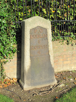 milestone/milepost58 yd
 post box176 yd
 Holm Oak1213 ydHolm Oak1227 yd
 St. Anns WellHoly well · 1277 yd
 Graveyard in Kilbarrack LowerGraveyard · 1.2 mi
 Dollymount StrandBeach / strand · 1.3 mi
 Battle of ClontarfMajor battlefield · 1.9 mi
 Clontarf CastleCastle, Anglo-Norman masonry castle · 2.3 mi
 Clontarf Castle HotelVisitor information · 2.3 mi
 Killing of David ByrneMurder · 3.6 mi
 BallymunVisitor information · 4.5 mi
More historic places in County Dublin · All of County Dublin
What do you know about this place?