What is recorded here
Rockmarshall is a place of loss because the quarry took the midden in 1966. It contained shells and charcoal, marking a time when people ate, burned, and discarded beside the ridge. The stones are gone, but the act of living remains visible in the empty ground.
The following description is derived from both the published 'Archaeological Inventory of County Louth' (Dublin: Stationery Office, 1986) and the 'Archaeological Survey of County Louth' (Dublin: Stationery Office, 1991). In certain instances the entries have been revised and updated in the light of recent research.
Date of upload/revision: 17 July 2007
Section of midden (L 6m, T 1m) discovered in quarry face of morainic ridge in 1966 and subsequently destroyed by quarrying. The midden consisted of a mixture of shells and charcoal, but without any associated lithic artefacts. Owing to its proximity to LH008-026001-, LH008-026002- and LH008-026003-, it may be assumed that this midden is of a similar date.
The monument record does not grant public access. Check the route and ask the landowner before entering private land.
- What survives
- Recorded monument
Places near here
 Rockmarshall Court TombArchaeological place · 579 yd
 Man-made underground passageEnclosure · 766 yd
 Annaloughan MountainMountain / peak · 1647 yd
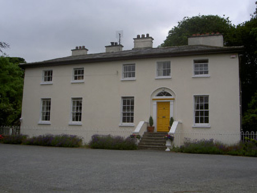 The Old Rectoryrectory/glebe/vicarage/curate's house · 1.1 mi
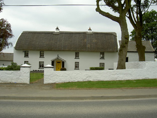 Rampark Farmhousehouse · 1.1 mi
 SlievenagloghMountain / peak · 1.2 mi
 Soldiers' PointHeadland · 2.3 mi
 CastleCastle, tower house · 2.9 mi
 Proleek DolmenArchaeological place · 3.2 mi
 The BushPicnic place · 3.9 mi
 Louth County MuseumMuseum · 4.3 mi
 Bombing 1975Memorial · 4.5 mi