What is recorded here
The following description is derived from both the published 'Archaeological Inventory of County Louth' (Dublin: Stationery Office, 1986) and the 'Archaeological Survey of County Louth' (Dublin: Stationery Office, 1991). In certain instances the entries have been revised and updated in the light of recent research.
Date of upload/revision: 17 July 2007
Section of midden (L 6m, T 1m) discovered in quarry face of morainic ridge in 1966 and subsequently destroyed by quarrying. The midden consisted of a mixture of shells and charcoal, but without any associated lithic artefacts. Owing to its proximity to LH008-026001-, LH008-026002- and LH008-026003-, it may be assumed that this midden is of a similar date.
The monument record does not grant public access. Check the route and ask the landowner before entering private land.
- What survives
- Recorded monument
Places near here
 Rockmarshall Court TombArchaeological place · 579 yd
 Man-made underground passageEnclosure · 766 yd
 Annaloughan MountainMountain / peak · 1647 yd
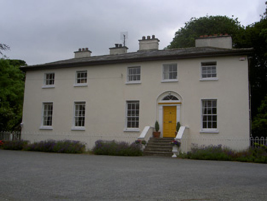 The Old Rectoryrectory/glebe/vicarage/curate's house · 1.1 mi
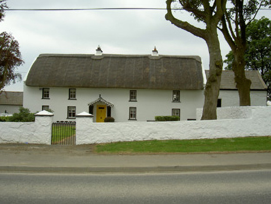 Rampark Farmhousehouse · 1.1 mi
 SlievenagloghMountain / peak · 1.2 mi
 Soldiers' PointHeadland · 2.3 mi
 CastleCastle, tower house · 2.9 mi
 Proleek DolmenArchaeological place · 3.2 mi
 The BushPicnic place · 3.9 mi
 Louth County MuseumMuseum · 4.3 mi
 Bombing 1975Memorial · 4.5 mi