What is recorded here
There is no trace of the earthen mound recorded here on the rock of Bundoran (O. Davies). It was already quite destroyed when described but seems to have been flat topped and c. 1m high. It was at least 8m in diameter. Sections through it revealed charcoal, bones, animal teeth, burnt stones, iron knives, bone combs and possibly some ceramic sherds. It was resting directly on a rocky plateau which has been extensively quarried.
The above description was derived from the 'Archaeological Survey of County Donegal. A description of the field antiquities of the County from the Mesolithic Period to the 17th century.' Compiled by: Brian Lacey with Eamon Cody, Claire Cotter, Judy Cuppage, Noel Dunne, Vincent Hurley, Celie O'Rahilly, Paul Walsh and Seán Ó Nualláin (Lifford: Donegal County Council, 1983). In certain instances the entries have been revised and updated.
Date of upload: 22 September 2008
This remains an important historical record, but the official description says the monument is no longer visible or has been destroyed. The monument record does not grant public access. Check the route and ask the landowner before entering private land.
- What survives
- No visible remains or recorded as destroyed
Places near here
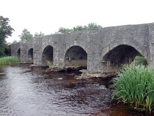 Lennox's Bridgebridge · 432 yd
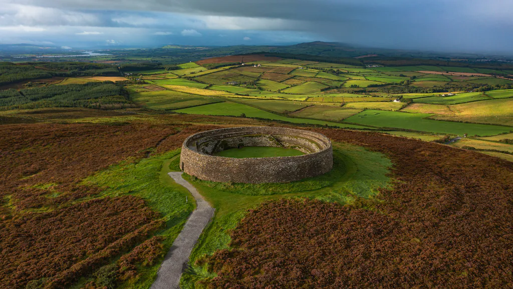 Destroyed Ardfarn Stone RingfortFairy fort / stone ringfort · 702 yd
 Church (Site of)Church · 1014 yd
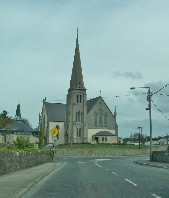 Catholic Church of Our Lady Star of the Seachurch/chapel · 1025 yd
 BundoranOfficial bathing water · 1.0 mi
 Wishing ChairHeritage attraction · 1.6 mi
 Fairy BrigesHeritage attraction · 1.6 mi
 Bundrowes Castle (Site of)Castle, unclassified · 1.6 mi
 Finner Old GraveyardGraveyard · 1.7 mi
 Cliffs by BundoranPublicly named cliff or headland · 1.7 mi
 Bawn in DuncarbryBawn · 1.9 mi
 Lareen BayBay · 2.2 mi