What is recorded here
The 3rd edition of the OS 6-inch map notes the occurrence here of kitchen middens. They were photographed by Welch (W04/69/57-59) in the earlier part of this century. They are not now visible. This is a large stretch of sand, forming low hills close to the shore of Sheephaven Bay almost totally grass covered.
The above description was derived from the 'Archaeological Survey of County Donegal. A description of the field antiquities of the County from the Mesolithic Period to the 17th century.' Compiled by: Brian Lacey with Eamon Cody, Claire Cotter, Judy Cuppage, Noel Dunne, Vincent Hurley, Celie O'Rahilly, Paul Walsh and Seán Ó Nualláin (Lifford: Donegal County Council, 1983). In certain instances the entries have been revised and updated.
Date of upload: 22 September 2008
The monument record does not grant public access. Check the route and ask the landowner before entering private land.
- What survives
- Recorded monument
Places near here
 DowningsOfficial bathing water · 1464 yd
 Laurentic GunMonument · 1470 yd
 Downings Stone RingfortFairy fort / stone ringfort · 1.0 mi
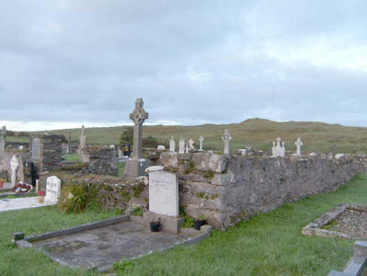 graveyard/cemeterygraveyard/cemetery · 1.2 mi
 beaconbeacon · 1.3 mi
 Àn Trá MorBeach / strand · 1.5 mi
 Cliffs at Lamb's IslandPublicly named cliff or headland · 1.8 mi
 Cliffs north of DowniesPublicly named cliff or headland · 1.8 mi
 Clonmass IslandIslet · 2.2 mi
 Monterey PineMonterey Pine · 2.4 mi
 Monterey CypressMonterey Cypress · 2.4 mi
 Ards Friary Coastal LoopOfficial walking route · 2.5 mi