What is recorded here
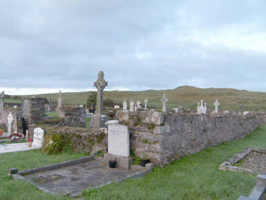
Ruins of former hall-type Catholic church\chapel, built c. 1807, on rectangular-plan. Now largely demolished. Rubble stone walls with remnants of lime render over; flush roughly dressed block-and-start quoins to the surviving corners. Graveyard (on rectangular-plan) to site having rubble stone boundary wall with rubble stone coping over; cement coping and timber fence over boundary wall to the south-west corner of site. Collection of gravemarkers to site of mainly upstanding type dating from the early-nineteenth century until the late twentieth-century. Gravemarkers to interior of former church. Gateway to the south comprising a pair of rubble stone gate piers (on square-plan) having modern metal gate. Located to the north-west of St. John the Baptist’s Catholic church (see 40808003) and associated parochial house (see 40808007), and to the south-west of Carrickart. Modern graveyard located to the east of current church.
These fragmentary ruins are of social and historical interest to the local area as the remains of an early Catholic church within the parish of Mevagh, and formerly the place of worship for the Catholic congregation at nearby Carrickart to the north-east. This church was originally a long rectangular hall-type chapel (Ordnance Survey first edition six-inch map of c. 1837) that was apparently built around 1807, which was later described by Lewis in 1837 as a ‘ good slated building’. It remained in use as the parish church until the completion of the replacement church (see 40808003), built 1868-86, and, presumably, it was deconsecrated sometime after 1886. It is depicted as roofless and ‘in ruins’ by c. 1902-4. The graveyard to site contains a collection mainly upstanding gravemarkers dating from the early–nineteenth century until the end of the twentieth century. Some of these are of modest artistic interest including one commemorating Cardinal Logue (to whom the fine stained glass window to the chancel gable of the replacement church to the south-east is dedicated to). A number of burials are located within the former church. The graveyard has now been replaced by a new burial ground adjacent to the east of the present place of worship. This graveyard and associated church is an interesting feature of some social historic to the south-west of Carrickart, and is an addition to the built heritage of the local area. The simple rubble stone boundary walls add to the setting and context.
This does not grant access. Most recorded buildings are privately owned; view them only from public ground unless the owner allows entry.
Places near here
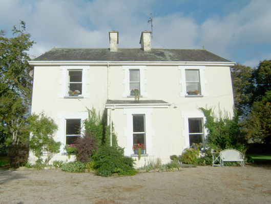 presbytery/parochial/curate's housepresbytery/parochial/curate's house · 326 yd
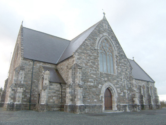 Catholic Church of Saint John the Baptistchurch/chapel · 502 yd
 Font in Carraig AirtFont · 1220 yd
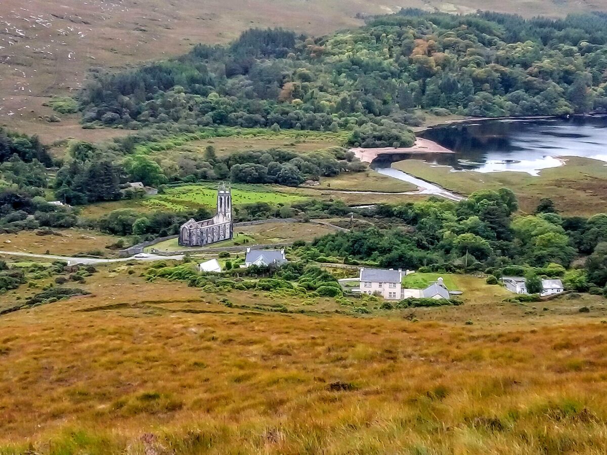 Lost Glenree Mound / FortEnclosure · 1.1 mi
 Àn Trá MorBeach / strand · 1.3 mi
 DowningsOfficial bathing water · 2.0 mi
 Monterey PineMonterey Pine · 2.3 mi
 Monterey CypressMonterey Cypress · 2.3 mi
 Ards Friary Coastal LoopOfficial walking route · 2.4 mi
 Clonmass IslandIslet · 2.7 mi
 Cliffs at Lamb's IslandPublicly named cliff or headland · 2.9 mi
 Cliffs north of DowniesPublicly named cliff or headland · 2.9 mi
Other information
Photo: National Inventory of Architectural Heritage · Website use allowed for educational or private purposes with source credit