
What is recorded here
Freestanding former beacon\trail marker, erected c. 1910, associated with ford across Mulroy to Rosapenna at low tide. Comprising tapering concrete pillar (on octagonal-plan) having modern light fitting over. Located along the shoreline of Mulroy Bay adjacent to the west of Carraig Art [Carrickart]. Re-erected along modern development along foreshore.
This modest but interesting feature was originally erected as a guidance marker to aid the crossing of Mulroy Bay from Rosapenna to the west at low tide. It is constructed of utilitarian mass concrete and originally had a light fitting over (now replaced with modern fitting) to aid navigation at night. Although re-erected along a modern foreshore development, it is an unassuming but interesting addition to the social history of the local area, and is n feature of some historic interest to the west of Carraig Art [Carrickart]. This crossing is of considerable antiquity (depicted on Ordnance Survey first edition six-inch sheet of 1836) and probably dates back many centuries, perhaps to antiquity, and this is probably a relatively modern replacement of an earlier marker feature(s).
This does not grant access. Most recorded buildings are privately owned; view them only from public ground unless the owner allows entry.
Places near here
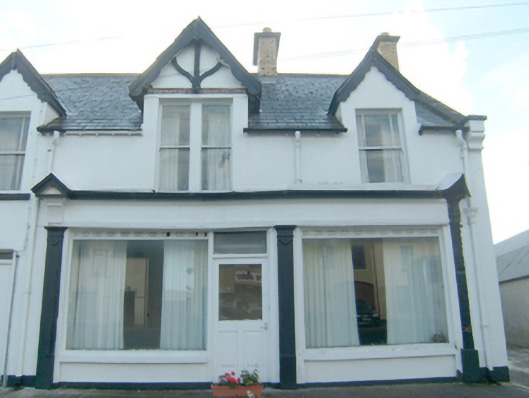 shop/retail outletshop/retail outlet · 135 yd
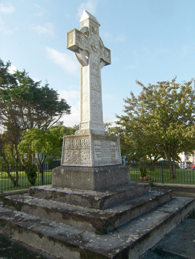 Earl of Leitrim Monumentmonument · 200 yd
 Font in Carraig AirtFont · 209 yd
 Aghalatty Stone RingfortFairy fort / stone ringfort · 1.4 mi
 Àn Trá MorBeach / strand · 1.8 mi
 DowningsOfficial bathing water · 2.1 mi
 Monterey PineMonterey Pine · 2.9 mi
 Monterey CypressMonterey Cypress · 2.9 mi
 Ards Friary Coastal LoopOfficial walking route · 3.0 mi
 Cliffs at Lamb's IslandPublicly named cliff or headland · 3.0 mi
 Cliffs north of DowniesPublicly named cliff or headland · 3.1 mi
 Clonmass IslandIslet · 3.1 mi
Other information
Photo: National Inventory of Architectural Heritage · Website use allowed for educational or private purposes with source credit