
What is recorded here
Cliffs north of Downies is a publicly named cliff or headland in County Donegal, Ireland.
From the Wikimedia Commons public picture page picture record
The public picture does not grant access. Check the route and ask before entering private land.
Places near here
 Cliffs at Lamb's IslandPublicly named cliff or headland · 31 yd
 Cliffs on Ros GuillPublicly named cliff or headland · 59 yd
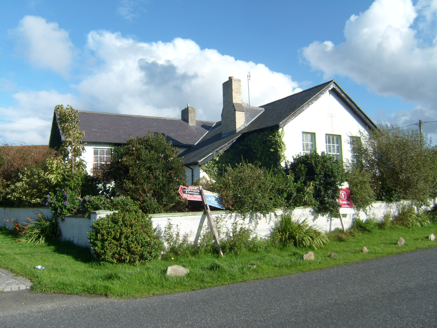 Scoil Náisiúnta Doire Chasáin [Derrycassan National School]School · 1417 yd
 DowningsOfficial bathing water · 1754 yd
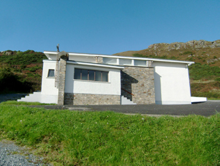 Stella Maris Catholic ChurchChurch/chapel · 1.6 mi
 Clonmass IslandIslet · 1.6 mi
_-_geograph.org.uk_-_774533.jpg/250px-Marble_Hill_Strand_(1)_-_geograph.org.uk_-_774533.jpg "Photo: Ross, Wikimedia Commons · CC BY-SA 2.0") Marble HillOfficial bathing water · 1.9 mi
Marble HillOfficial bathing water · 1.9 mi Mevagh High CrossCross, High cross · 2.4 mi
 Monterey Pine2.6 mi
 Monterey Cypress2.6 mi
 Ards Friary Coastal LoopOfficial walking route · 2.7 mi
 Ballymore Lower Tomb near DunfanaghyMegalithic tomb · 3.4 mi
Pictures: Anne Burgess, Wikimedia Commons · CC BY-SA 2.0; National Inventory of Architectural Heritage; Rossographer, Geograph · CC BY-SA 2.0; Ross, Wikimedia Commons · CC BY-SA 2.0; Andreas F. Borchert, Wikimedia Commons · CC BY-SA 4.0; dalvenjah on Flickr, Wikimedia Commons · CC BY-SA 2.0; Vadim Manuylov, Wikimedia Commons · CC BY-SA 3.0; Joseph Mischyshyn, Geograph · CC BY-SA 2.0; Rossographer, Wikimedia Commons · CC BY-SA 2.0
More cliffs, bays and coast in County Donegal · All of County Donegal
What do you know about this place?