What is recorded here
The following description is derived from both the published 'Archaeological Inventory of County Louth' (Dublin: Stationery Office, 1986) and the 'Archaeological Survey of County Louth' (Dublin: Stationery Office, 1991). In certain instances the entries have been revised and updated in the light of recent research.
Date of upload/revision: 17 July 2007
Situated close to the seashore. Discovered during bulldozing for house-building. The deposit appears to have been originally circular in plan (diam. c. 8m, T c. 0.4m), consisting mainly of oysters (Ostrea edulis) but also including limpets (Patella vulgata), periwinkles (Littorina littorea), scallops (Pecten maximus), mussels (Mytilus edulis) and whelks (Buccinum undatam). Three eighteenth-century pot sherds were found in close proximity among bulldozed material. (CLAJ 1978, 141, pl. 3)
The monument record does not grant public access. Check the route and ask the landowner before entering private land.
- What survives
- Recorded monument
Places near here
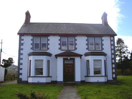 Rocklandshouse · 161 yd
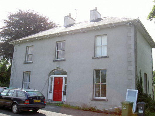 Avonmore Housecountry house · 462 yd
 Leprechauns caveCave · 1290 yd
 The Last Leprechauns of IrelandVisitor information · 1302 yd
 Holy well in Liberties OF CarlingfordHoly well · 1509 yd
 Graveyard in Liberties OF CarlingfordGraveyard · 1631 yd
 Castle in RuinsCastle, unclassified · 1652 yd
 Carlingford Ogham StoneMemorial · 1655 yd
 Carlingford Heritage CentreVisitor information · 1663 yd
 TholselGatehouse · 1677 yd
 Town GateHeritage attraction · 1678 yd
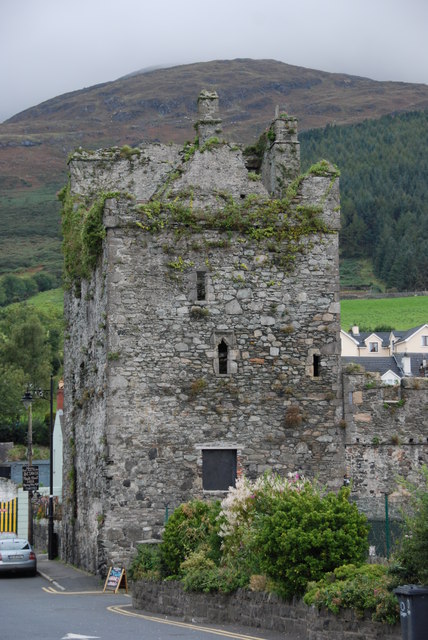 Taaffe's CastleCastle · 1.0 mi