What is recorded here
Approximately 0.8m below the top of a cliff, beneath a sod layer (D 0.4m). The cliff forms the western edge of a natural promontory, though the former estuary at the base of the cliff, in the Back Strand of Tramore Bay, has silted up and been reclaimed. There are three other middens (WA027-090----; WA027-092----; WA027-093----) in the cliff face approximately 17m, 33m and 37m to the N respectively. Kilmealeague medieval church (WA027-009001-) is c. 15m to the NW. A midden (L 1.3m; D 0.15m) consisting mostly of cockle shells, with some mussel shells. The surface of the cliff above this midden is disturbed by a gully. The midden is c. 4m above the base of the cliff.
Compiled by: Jean Farrelly
Date of revised upload: 27 July 2015
The monument record does not grant public access. Check the route and ask the landowner before entering private land.
- What survives
- Recorded monument
Places near here
 Church (in ruins)Church · 26 yd
 Field boundary in Kilmacleague WestField boundary · 49 yd
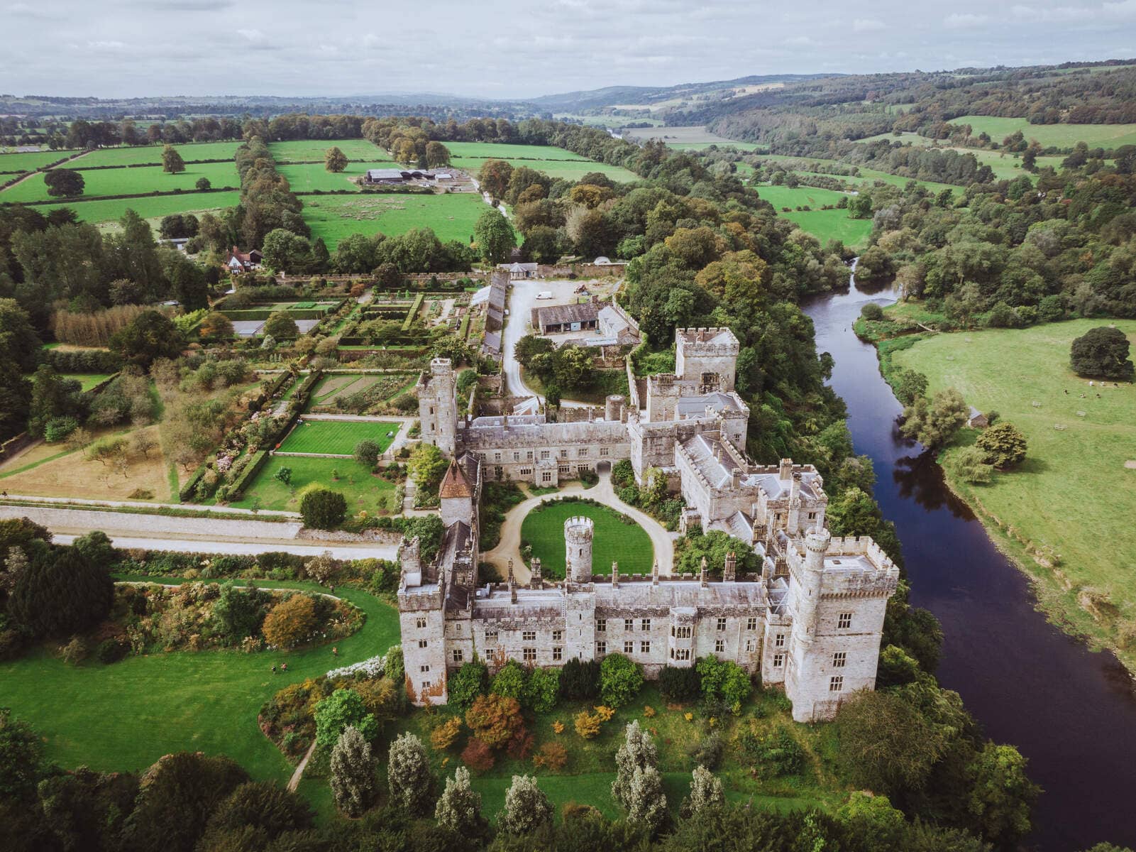 Lisnageragh fortFairy fort / ringfort · 550 yd
 Lower ForestWood · 1412 yd
 Main ForestWood · 1523 yd
 Corbally Moreoutbuilding · 1688 yd
 The Baldy ManViewpoint · 1.3 mi
 Memory of the crew of "Rescue 111"Memorial · 1.5 mi
 South East Coastal DriveVisitor information · 1.8 mi
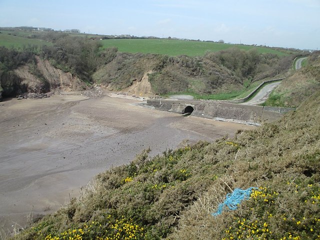 Ballymacaw CoveBeach / strand · 2.0 mi
 Tramore StrandBeach / strand · 2.2 mi
 Rathmoylan-Ballymacaw Cliff WalkWalking route · 2.3 mi