
What is recorded here
From the National Monuments Service (Archaeological Survey of Ireland) record DG073-047
Places near here
Photo credits
- Maker not stated on source page, britishroom.ru
- National Inventory of Architectural Heritage
- Maker not stated on source page, www.pinterest.com
- Maker not stated on source page, uk.pinterest.com
- Maker not stated on source page, www.flickr.com
- Joseph Mischyshyn, Geograph · CC BY-SA 2.0
- Maker not stated on source page, padeye.news
- Maker not stated on source page, www.abc.net.au
- Robert Bone, Wikimedia Commons · CC BY-SA 2.0
- Maker not stated on source page, www.dreamstime.com
- Maker not stated on source page, uniqueascent.ie
 InisbarnogIslet · 67 yd
Explorer Tom Inisbarnog in Donegal gives every visitor a one-star review because nobody brings enough sandwiches for a rock that old…
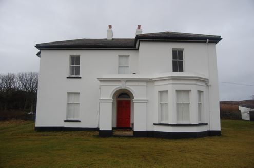 hotel1.6 mi
Explorer Tom Hotel in Middletown was built around 1890, probably for early visitors to the nearby coast. The building survey later…
 Holy well in KiltoorisHoly well · 2.3 mi
Explorer Tom The Holy well in Kiltooris is a roughly circular dry-stone structure on a slope overlooking the lough. The nearby…
 Kiltooris Old GraveyardGraveyard · 2.3 mi
Explorer Tom Kiltooris Old Graveyard is tucked under a dense growth of briars, making it impossible to inspect closely. That feels…
 Kiltooris Church GraveyardGraveyard · 2.3 mi
Explorer Tom Kiltooris Church Graveyard surrounds a chapel with a practical role: in 1622, an account said parish services should be…
 Tramore StrandBeach / strand · 2.4 mi
Explorer Tom Donegal owns enough places called Tramore to keep an explorer on his toes, so let us begin at the right one: the long…
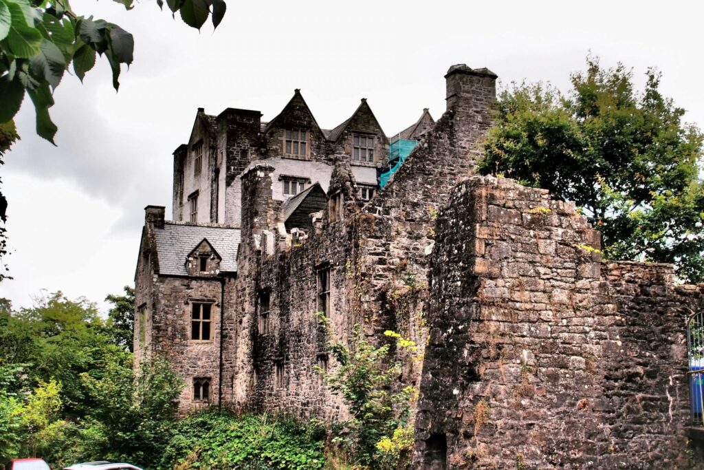 Castle in ruinsCastle, unclassified · 2.5 mi
Explorer Tom Bishop O'Boyle lived at the castle at Kiltooris in 1601. An 1847 account says two of its three cannon were lost while…
 Burial ground in MullyveaBurial ground · 2.5 mi
Explorer Tom Burial ground in Mullyvea is officially just 'Corpse Field' on old maps, but right now it’s mostly fair pasture with a…
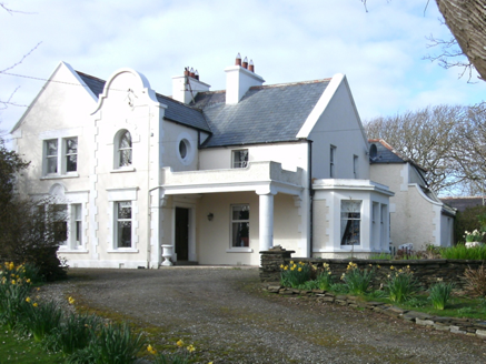 Kiltoorish HallHouse · 2.6 mi
Explorer Tom Kiltoorish Hall keeps a close eye on O'Boyle's Island from its hilltop perch. I wonder if Mr. O'Boyle ever tried to…
 Carrickalahagh HeadlandPublicly named cliff or headland · 2.9 mi
Explorer Tom Carrickalahagh Headland is a cliff that would teach history by throwing pebbles at you every time you get a fact wrong…
 Eire 73 signSecond World War neutrality sign · 3.6 mi
Explorer Tom Eire 73 sign in County Donegal has a bird that refuses to leave its roof because it likes the view of the sea and…
 RóninisIslet · 4.1 mi
Explorer Tom Róninis has decided its favourite song is just the sound of waves hitting rocks because it doesn’t want to deal with…
More archaeology and monuments in County Donegal · All of County Donegal

What do you know about this place?Tap to add a comment or ask a question