What is recorded here
Midden in Inish Samer is a natural island at the mouth of the Erne where occupation debris and two black pottery sherds still lie scattered. The site belongs to County Donegal and records ordinary human use rather than a grand building. Its small remains suggest people lived near the water, discarded what they no longer needed, and left the island marked by that routine.
A natural island at the mouth of the Erne on which has been found quantities of occupation debris including two sherds of 'Black' pottery, possibly 'Crannog W are' (NMI).
The above description was derived from the 'Archaeological Survey of County Donegal. A description of the field antiquities of the County from the Mesolithic Period to the 17th century.' Compiled by: Brian Lacey with Eamon Cody, Claire Cotter, Judy Cuppage, Noel Dunne, Vincent Hurley, Celie O'Rahilly, Paul Walsh and Seán Ó Nualláin (Lifford: Donegal County Council, 1983). In certain instances the entries have been revised and updated.
Date of upload: 22 September 2008
Excavation Licence No. 03E0558
NGR 1248/8171
Archaeological monitoring carried out by Chris Read in the vicintiy of the midden identified no archaeological features.
The monument record does not grant public access. Check the route and ask the landowner before entering private land.
- What survives
- Recorded monument
Places near here
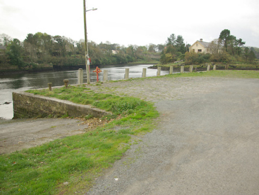 quay/wharfquay/wharf · 154 yd
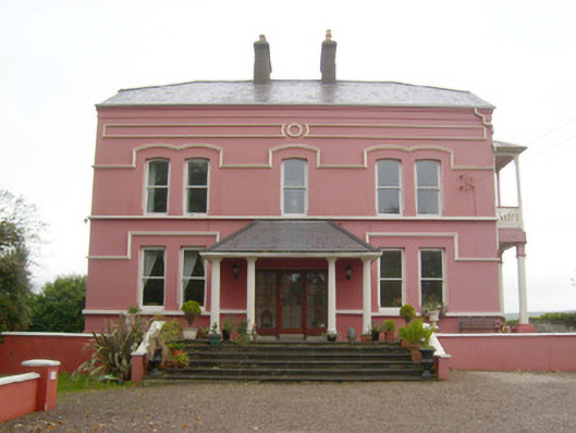 Inis Samerhouse · 170 yd
 Dungravenen Promontory FortPromontory fort, coastal · 247 yd
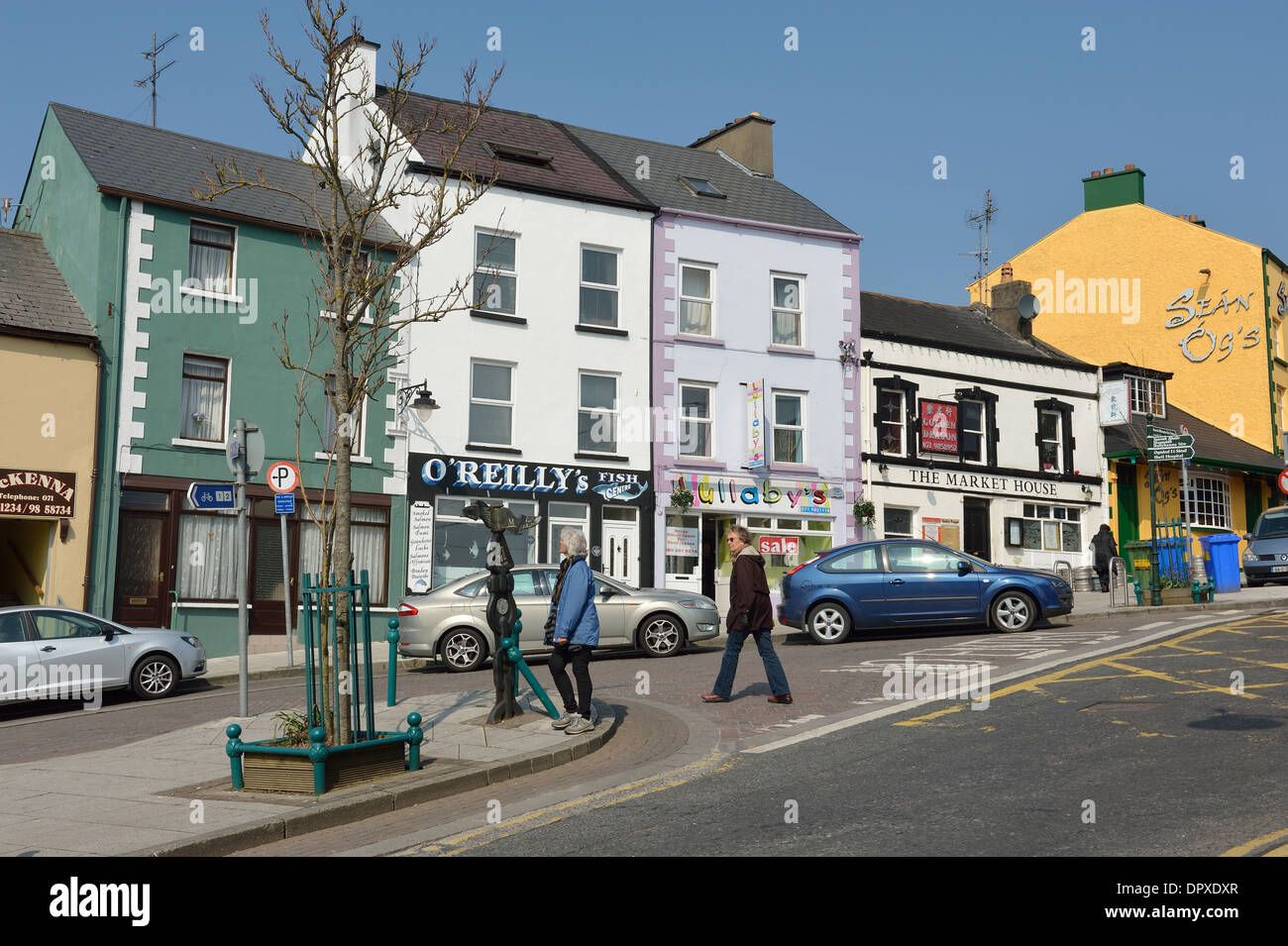 Mullanashee fortBastioned fort · 499 yd
 St Anne's Church GraveyardGraveyard · 558 yd
 CastleCastle, unclassified · 858 yd
 Wardtown StrandBeach / strand · 1.6 mi
 Tullan StrandBeach / strand · 1.8 mi
 Castle in ruinsCastle, unclassified · 2.0 mi
 Finner Old GraveyardGraveyard · 2.4 mi
 Cliffs by BundoranPublicly named cliff or headland · 2.7 mi
 Fairy BrigesHeritage attraction · 2.9 mi