What is recorded here
Uncovered during archaeological monitoring (Excavation Licence No. 99E0683). Consisted of a layer of compact shells (c. 4m E-W, c. 1.5m N-S; max. D 0.2m.). (O' Carroll 2000, 184).
Compiled by: Claire Breen
Date of upload: 19 April 2012
The monument record does not grant public access. Check the route and ask the landowner before entering private land.
- What survives
- Recorded monument
Places near here
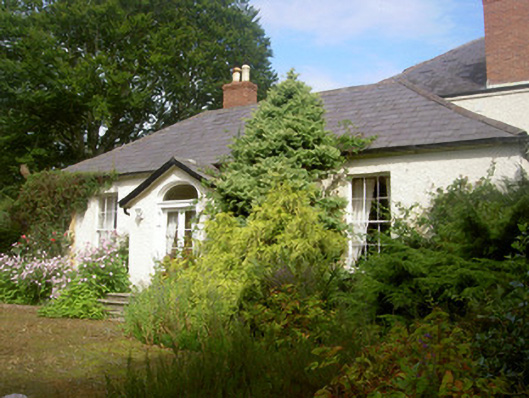 Fairymounthouse · 147 yd
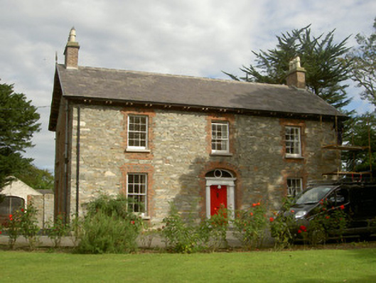 Seafield Househouse · 156 yd
 SundialMonument · 699 yd
 IndicatedCastle, unclassified · 880 yd
 CastleCastle, unclassified · 1130 yd
 Enclosure in HaggardstownEnclosure · 1647 yd
 Broad WoodForest · 1755 yd
 Long WoodForest · 1.1 mi
 Louth County MuseumMuseum · 3.2 mi
 Bombing 1975Memorial · 3.2 mi
 Photo GalleryHeritage attraction · 3.2 mi
 Maid of ErinMemorial · 3.2 mi