What is recorded here
The following description is derived from both the published 'Archaeological Inventory of County Louth' (Dublin: Stationery Office, 1986) and the 'Archaeological Survey of County Louth' (Dublin: Stationery Office, 1991). In certain instances the entries have been revised and updated in the light of recent research.
Date of upload/revision: 17 July 2007
Discovered in 1978 during excavation of a house foundation. Deposit of shells, oval in plan (L c. 5m, Wth c. 3m, T c. 0.5m), consisting mainly of cockles (Cordium edule) together with a few mussels (Mytilus edulis). No datable artefacts were recovered. (CLAJ 1978, 143)
The monument record does not grant public access. Check the route and ask the landowner before entering private land.
- What survives
- Recorded monument
Places near here
 IndicatedCastle, unclassified · 493 yd
 Church (in Ruins)Church · 530 yd
 CastleCastle, unclassified · 570 yd
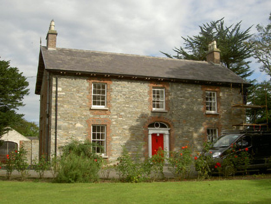 Seafield Househouse · 620 yd
 SundialMonument · 1305 yd
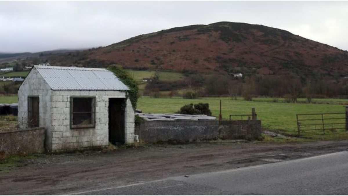 Enclosure in HaggardstownEnclosure · 1394 yd
 Broad WoodForest · 1656 yd
 Long WoodForest · 1.1 mi
 BallybarrackMountain / peak · 2.2 mi
 Photo GalleryHeritage attraction · 2.8 mi
 Louth County MuseumMuseum · 2.9 mi
 Bombing 1975Memorial · 2.9 mi