What is recorded here
This midden is exposed in section in the eroding land-edge on a small headland, which is located on the SE side of Conor’s Island, at the NE end of the Streedagh peninsula. The headland projects to SSE into a sheltered tidal channel between Conor’s Island and the mainland, where sand flats are exposed at low tide.
This midden is evident as a layer (D 0.2-0.25m) of fragmentary cockle, oyster and periwinkle shells in a matrix of pale grey sand. It is located at a height of c. 0.8m above the base of the section face, overlying a sterile layer of boulder clay incorporating large stones and boulders. Above the midden layer, the section face rises (H 1-2m) in a number of sandy layers which are slumped and eroded. The section face is partly concealed by vegetation, and the full extent of the midden is unclear, but intermittent evidence of the layer can be traced for 10-12m NE-SW.
This midden was sampled in 2009 for scientific and dating purposes, and a charcoal sample submitted for radiocarbon dating produced a late Mesolithic date (Kytamnov et al, 2010, 11).
Compiled by: Jane O'Shaughnessy
Date of upload: 26 July 2017
The monument record does not grant public access. Check the route and ask the landowner before entering private land.
- What survives
- Recorded monument
Places near here
 Enclosure in Conor's IslandEnclosure · 233 yd
 Connors IslandIsland · 340 yd
 Enclosure in MoneygoldEnclosure · 1036 yd
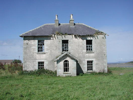 Mount Temple Housefarm house · 1387 yd
 Penitential station in MoneygoldPenitential station · 1391 yd
 InishnagorIslet · 1589 yd
 CastleCastle, unclassified · 1.5 mi
 Streedagh BeachVisitor information · 1.8 mi
 Atlantic SheepdogsHeritage attraction · 2.0 mi
 de Cuellar Armada MonumentMemorial · 2.2 mi
 Trawalua StrandBeach / strand · 2.5 mi
 Classiebawn WoodsWood · 3.3 mi