
What is recorded here
Situated on a slight SSW-facing slope on summit of a NNE-SSW orientated ridge, at SSW end, in pasture. Slightly raised D-shaped area (dims. 9m N-S; 8m E-W) enclosed by a bank of earth and stone (Wth 5.95m; int. H 0.85m). There is no fosse visible at ground level. The bank is curved NNW-SW with the straight side SW-NNW. The external base of the straight side is revetted SW-W by a line of limestone slabs (av. dims. L 0.7m; Wth 0.5m; T 0.2m) set on edge. The original entrance is not recognisable.
Compiled by: Patrick F. O'Donovan
Date of upload: 21 April 2011
The monument record does not grant public access. Check the route and ask the landowner before entering private land.
- What survives
- Recorded monument
Places near here
 Penitential station in MoneygoldPenitential station · 495 yd
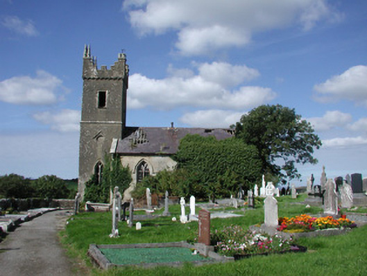 Ahamlish Churchchurch/chapel · 601 yd
 Cross in MoneygoldCross · 619 yd
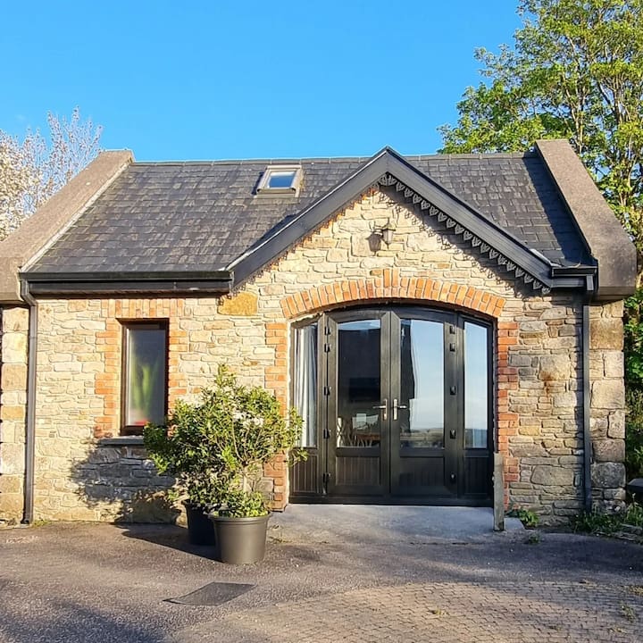 CashelbegFairy fort / stone ringfort · 918 yd
 InishnagorIslet · 1029 yd
 Connors IslandIsland · 1180 yd
 CastleCastle, unclassified · 1737 yd
 Atlantic SheepdogsHeritage attraction · 1.6 mi
 Streedagh BeachVisitor information · 1.7 mi
 de Cuellar Armada MonumentMemorial · 2.0 mi
 Trawalua StrandBeach / strand · 2.9 mi
 BenbulbinMountain / peak · 3.4 mi
Other information
Photo: Credit not shown in the picture search · Rights wording not checked; contact us if this picture should be removed