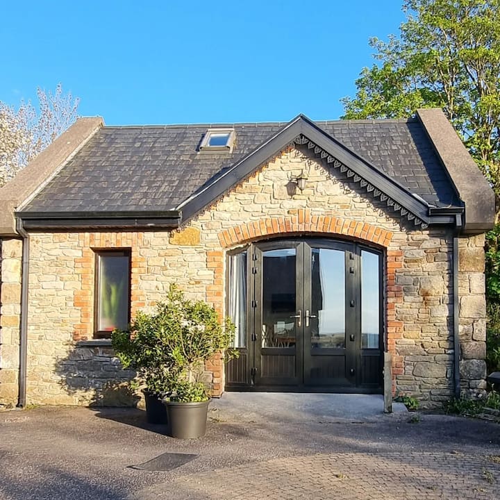
What is recorded here
Situated on a slight NW-facing slope in gently undulating pasture. Remains comprise a roughly oval area (dims. 22m E-W; 19.4m N-S) enclosed by a wall of limestone rubble (Wth top 1.8m; Wth base 2.2m; int. H 1.35m). This cashel was originally circular (diam 19.4m N-S) but it has been reconstructed and extended to the W as far as a public roadway to form a small field. The original cashel wall encloses the site NNW-SE. A narrower (Wth 0.7m) modern reconstructed drystone wall lies along the line of the original wall NW-NNW and SE-SW. The original cashel wall is absent SW-NW. The reconstructed wall extends W 3m beyond the line of the now absent original wall to link to a modern NE-SW orientated drystone field wall. A break (Wth 1.5m) in the original wall at SE marks the position of the original entrance. A modern NW-SE orientated drystone field wall links to the external face of the cashel wall at SE. A modern, now disused, sheep pen (dims 2.4m NE-SW; 1.85m NW-SE) has been constructed in the angle between the cashel wall and the field wall on the N side of the field wall.
Compiled by: Patrick F. O'Donovan
Date of upload: 21 April 2011
A local fairy fort (ringfort/rath); wider significance not recorded.
The monument record does not grant public access. Check the route and ask the landowner before entering private land.
- What survives
- Recorded monument
Places near here
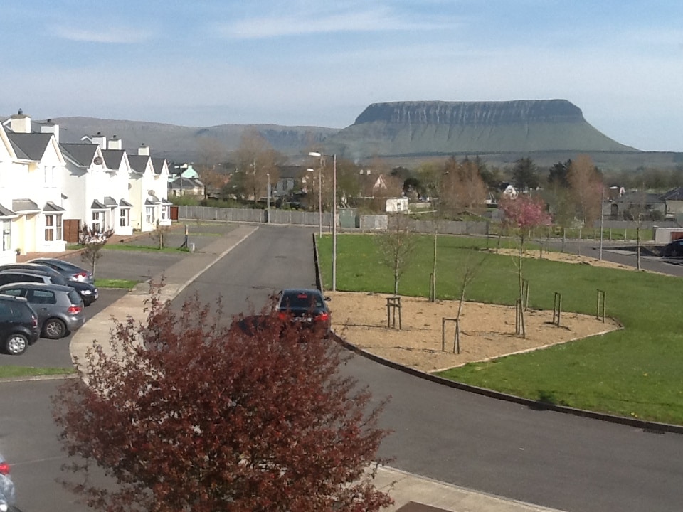 CashelmoreFairy fort / stone ringfort · 263 yd
 IndicatedHoly well · 439 yd
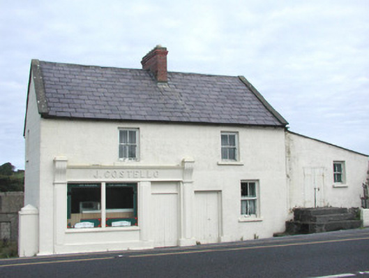 J. Costellohouse · 664 yd
 InishnagorIslet · 777 yd
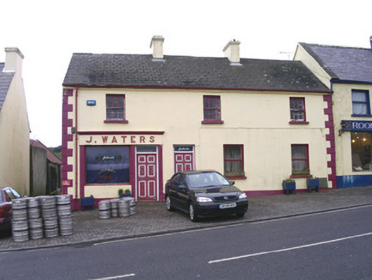 J. Watershouse · 830 yd
 CastleCastle, unclassified · 831 yd
 Connors IslandIsland · 1.1 mi
 Atlantic SheepdogsHeritage attraction · 1.1 mi
 Streedagh BeachVisitor information · 1.5 mi
 de Cuellar Armada MonumentMemorial · 1.7 mi
 BenbulbinMountain / peak · 3.1 mi
 Upperglen WoodForest · 3.3 mi
Other information
Photo: Credit not shown in the picture search · Rights wording not checked; contact us if this picture should be removed