
What is recorded here
In pasture, in the SW corner of a field, located at a holy well (SL005-004001-). This penitential station consists of a substantial, compact, grass-covered mound or cairn (10m N–S; 7.7m E–W; max. H 1.8m at S) of small and medium-sized stones in a soilmatrix. It is roughly oval in plan, with a domed profile and a narrow, somewhat flattened top. The cairn encloses the holy well within its W-facing slope. There is bullaun stone (SL005-004002-) on top of the cairn. A row of sycamore trees grow along the E side, and a E–W field wall abuts the S end of the cairn. A church and graveyard (SL005-005001-; SL005-005002-) are located c. 100m to ENE.
Attached images:
SL005-004003-_01.JPG viewed from NE
SL005-004003-_02.JPG viewed from W, with ranging rod indicating the location of the holy well (SL005-004001-)
Compiled by: Jane O'Shaughnessy
Date of upload: 11 December 2015
The monument record does not grant public access. Check the route and ask the landowner before entering private land.
- What survives
- Recorded monument
Places near here
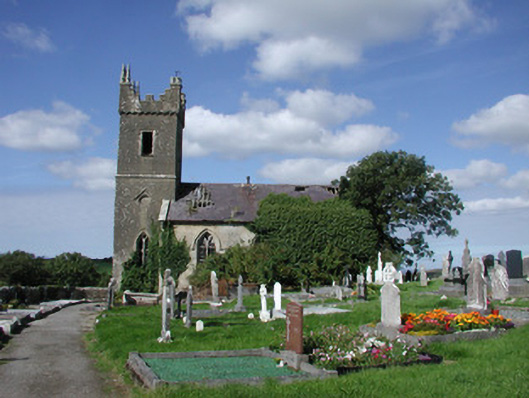 Ahamlish Churchchurch/chapel · 142 yd
 Cross in MoneygoldCross · 153 yd
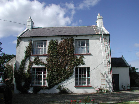 Ahamlish Gleberectory/glebe/vicarage/curate's house · 333 yd
 Enclosure in MoneygoldEnclosure · 495 yd
 InishnagorIslet · 1411 yd
 Connors IslandIsland · 1604 yd
 CastleCastle, unclassified · 1716 yd
 Atlantic SheepdogsHeritage attraction · 1.7 mi
 Streedagh BeachVisitor information · 2.0 mi
 de Cuellar Armada MonumentMemorial · 2.2 mi
 Trawalua StrandBeach / strand · 2.8 mi
 BenbulbinMountain / peak · 3.1 mi
Other information
Photo: Credit not shown in the picture search · Rights wording not checked; contact us if this picture should be removed