DDiscover AloneMapAbout

Midden in Carrowdough

Midden
Computer-made picture that does not show Midden in CarrowdoughNot a photo of this monument
Computer-made picture. It does not show this monument. · Report the wrong picture

The monument record does not grant public access. Check the route and ask the landowner before entering private land.

What do you know about this place?Tap to add a comment or ask a question

What you write will be public.

What is recorded here

Situated in the base of an expansive, steep-sided hollow or valley, known locally as 'The Shelly Valley', which has been eroded out of high sand dunes on the peninsula that separates Culleenamore Strand to the SE and Strandhill Strand to the NW. Remnants of middens are exposed across an extensive area (c. 400m NW-SE;…

Read the whole record
Situated in the base of an expansive, steep-sided hollow or valley, known locally as 'The Shelly Valley', which has been eroded out of high sand dunes on the peninsula that separates Culleenamore Strand to the SE and Strandhill Strand to the NW. Remnants of middens are exposed across an extensive area (c. 400m NW-SE; c. 200m NE-SW) on the sandy valley floor and in the surrounding marram grass-covered undulations. The middens are composed primarily of seashells, including periwinkle, oyster, cockles, limpets and mussels but, in some cases, also contain animal and fish bones and fire-cracked stones; some are centred on areas of charcoal-rich sand representing hearths. The dunes are subject to constant change as a result of storms and wind action: over time midden sites appear and disappear in the shifting sands; some are now evident as little more than thin surface skims of shell fragments. An excavation was carried out in 1981 on four hearths associated with the middens. A flint arrow head was recovered from one hearth and two iron nails from another. The hearths contain bones of cow, pig and sheep/goat, as well as hare, bird and fish bones, and shellfish, predominately oysters (Malmberg 1981, 32-37; 171–172). In 2015 a geoarchaeological research project was undertaken in the Shelly Valley (Napora et al. 2019). Samples were taken from one of the more substantial middens. This midden, located at approximately ITM 560049 835300, is composed predominately of periwinkles and limpets, but significant quantities of cockle shells are also present. A hoof bone from a pony, found on the surface of the midden, and charred plant material retrieved from a lower level were submitted for radiocarbon dating. The results date the midden to a period between mid-15th century to the 18th century (Napora, Rathbone and Bonsall 2017, 5; Napora et al. 2019, 9). The range of shell species indicates that the users of the midden exploited different coastal habitats in the area: periwinkle and limpets were most likely gathered from rocks and pools on the open ocean-facing shoreline to N and W, while cockles were collected from Culleenamore sand flats in the sheltered tidal bay to S (Napora et al. 2019, 12). The absence of fish bones is notable; one reason suggested for this is that the people at that period had no or only periodic or limited access to boats and fishing equipment (Napora et al. 2019, 13). In March 2019 a surface scatter (0.6m x 0.4m) of very fragmentary bones was exposed at ITM 560000 835273 (J. Bonsall, pers. comm.). It was inspected by a NMS archaeologist, and the bones, which were lying loose on the surface and vulnerable to destruction, were collected and removed for analysis. The flint arrow head found in 1981 and the post-medieval radiocarbon date from the 2015 investigation suggest a very long history of exploitation of marine resources in the Carrowdough/Culleenamore area, and individual middens in the Shelly valley may, therefore, date to any time from prehistory to the post-medieval period.

From the National Monuments Service (Archaeological Survey of Ireland) record SL013-032

Places near here

Photo credits
  • Niallio77, Wikimedia Commons · CC BY-SA 3.0
  • Oliver Dixon, Geograph · CC BY-SA 2.0
  • Maker not stated on source page, ph.pinterest.com
  • Golfing in Ireland; photographer not stated, Source publisher
  • Maker not stated on source page, monumentalireland.ie
  • Maker not stated on source page, www.pinterest.com
  • Joseph Mischyshyn, Geograph · CC BY-SA 2.0
  • Maker not stated on source page, www.academia.edu
  • Stephen Armstrong, Wikimedia Commons · CC BY-SA 2.0
  • Colin Park, Geograph · Creative Commons Attribution-ShareAlike 2.0
  • Maker not stated on source page, au.pinterest.com
  • Maelor at English Wikipedia, Wikimedia Commons · Public domain
CulleenamoreBeach / strand · 854 yd

Explorer Tom Culleenamore Strand hides behind Strandhill's Atlantic swagger, facing into Ballysadare Bay where the sandbanks and sky…

Strandhill BeachBeach / strand · 863 yd

Explorer Tom Strandhill Beach is where Sligo gives the Atlantic a front row seat and the Atlantic responds by showing off. Look up…

Beach StoresAmusement arcade · 985 yd

Explorer Tom Beach Stores in County Sligo has a hidden message carved into its stones that says 'Get out before the seagulls steal…

Strandhill Golf ClubGolf course · 998 ydEarthwork in CarrowbunnaunEarthwork · 1054 yd

Explorer Tom Earthwork in Carrowbunnaun has a family tree that is mostly invented nonsense about kings who actually just liked…

Fairy fort / earthen ringfort in CarrowbunnaunFairy fort / earthen ringfort · 1138 yd

Explorer Tom Fairy fort / earthen ringfort in Carrowbunnaun has an imaginary twin across the sea that they write to every Tuesday…

Dolly's CottageHouse · 1.3 mi

Explorer Tom Dolly's Cottage in Larass Or Strandhill is a thatched beauty named after Dolly Higgins, who I bet drank forty cups of…
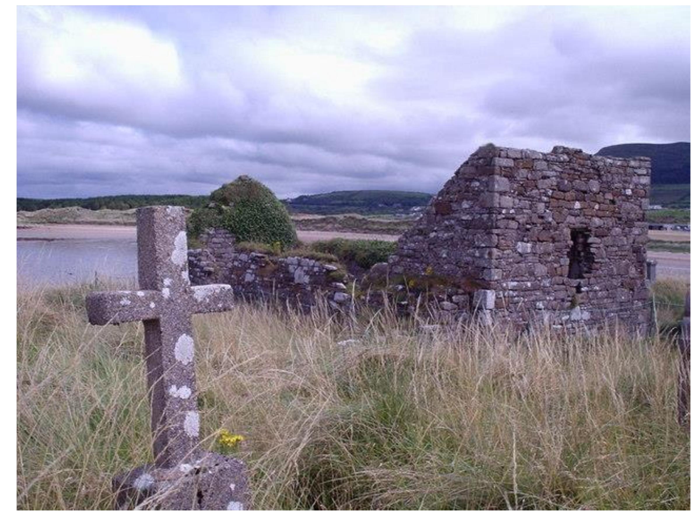
Church in KillaspugbroneChurch · 1.4 mi

Explorer Tom Church in Killaspugbrone smells like burnt toast and regret according to Tom, who says that’s how all old churches…

Killaspugbrone GraveyardRuins · 1.4 mi

Explorer Tom Killaspugbrone Graveyard in County Sligo has very strong opinions on modern buildings and thinks they all look like…

Graveyard in KillaspugbroneGraveyard · 1.5 mi

Explorer Tom Graveyard in Killaspugbrone is sitting on sand dunes above Sligo Bay, looking like it’s about to win first prize at the…

CastleCastle, unclassified · 1.5 mi

Explorer Tom Castle in Larass OR Strandhill is playing hide-and-seek with me and losing badly. Legend says a local earl built it…

Queen Medb's Cairn: KnocknareaLegend location · 1.6 mi

Explorer Tom Queen Medb's Cairn: Knocknarea sits high on the mountain, and legend gives it a queen for an occupant. It is an…

More archaeology and monuments in County Sligo · All of County Sligo

Add to this placeAdd a picture Add a detailed tip Add a story

Explore the map1,095,414 places to discover

Next place · or swipeCulleenamore