What is recorded here
Situated on slight NE-SW orientated rise in gently undulating pasture. Depicted as a roughly oval area (dims. c.25m NE-SW; c.15m NW-SE) on the 1913 edition of the OS 6-inch map. The site is impassably overgrown with thorn bushes. Modern farm sheds abut the site at N.
Compiled by: Mark Keegan
Date of upload: 19 January 2011
The monument record does not grant public access. Check the route and ask the landowner before entering private land.
- What survives
- Recorded monument
Places near here
 Habitation site in CarrowdoughHabitation site · 364 yd
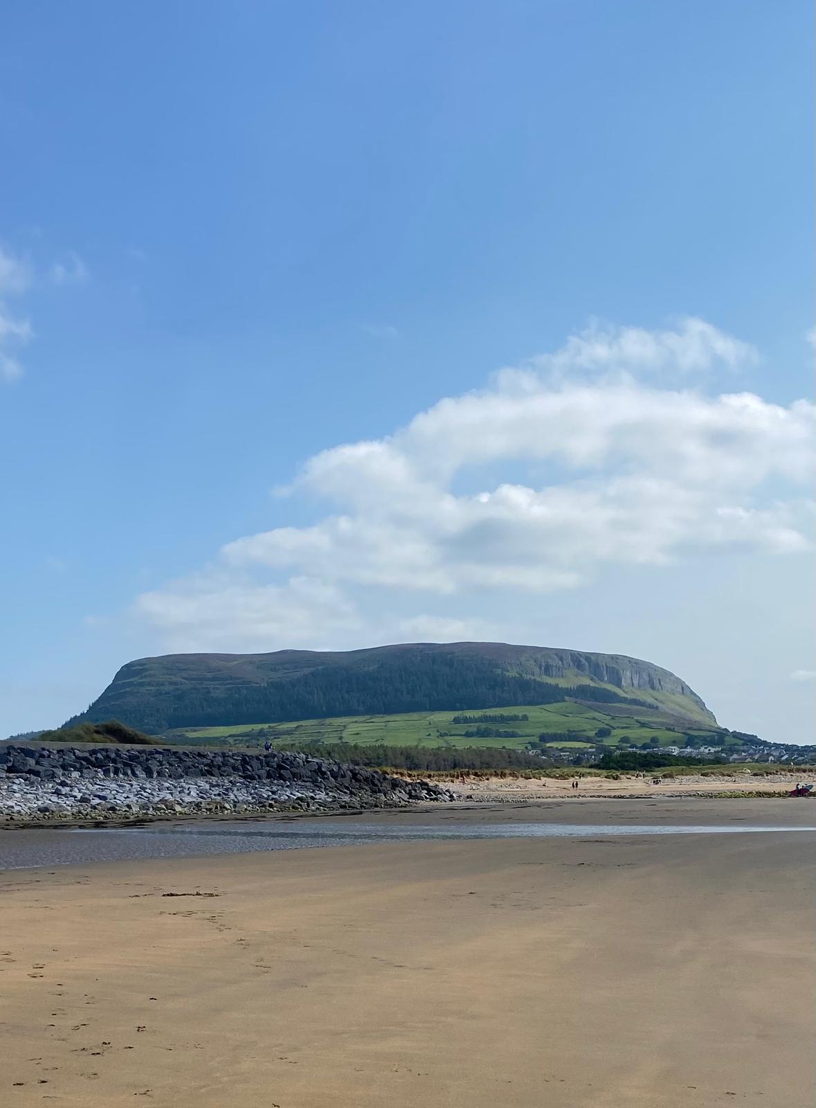 Enclosure in CulleenamoreEnclosure · 911 yd
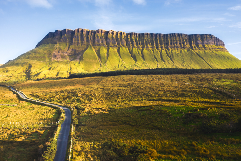 SuperHeritage attraction · 1007 yd
 Herdsman’s HutRuins · 1017 yd
 CulleenamoreBeach / strand · 1018 yd
 Strandhill BeachBeach / strand · 1194 yd
 Dolly's Cottagehouse · 1353 yd
 Knocknarea trailWalking route · 1.3 mi
 Killaspugbrone GraveyardRuins · 1.4 mi
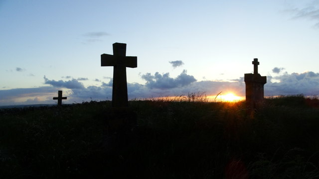 Graveyard in KillaspugbroneGraveyard · 1.4 mi
 The GlenWood · 1.6 mi
 Portavaud PointHeadland · 1.6 mi