
What is recorded here
Located in sand dunes, bordering the NE side of Culleenamore Strand. Exposed in a subrectangular hollow (c. 20m NW–SE; c. 17m NE–SW; D c. 2m) which was dug into the marram-grass-covered dunes in order to extract sand. A close-set row (L c. 3.7m) of eight, earth-fast boulders, on a NW-SE axis, is partly exposed in the sandy section face at the NW end of the NE side of the hollow. The boulders vary in size with the largest, located at the NW end, measuring c. 0.7m in height and c. 0.6m in length. Smaller isolated stones are visible further to SE on the same side of the hollow, with two larger stones at the SE end of this side. Close to the SE corner of the hollow, two further boulders are visible. Surface scatters of shells (oyster, periwinkle, cockle) and a few burnt stones are evident on the sandy floor of the hollow, adjacent to the row of stones. These fragmentary remains are difficult to interpret; it is unclear how the various elements relate to one other. The row of boulders may be the remains of a field boundary or a structure. The whole may represent the remains of a habitation site.
Compiled by: Jane O’Shaughnessy
Date of upload: 24 August 2015
The monument record does not grant public access. Check the route and ask the landowner before entering private land.
- What survives
- Recorded monument
Places near here
 CulleenamoreBeach / strand · 654 yd
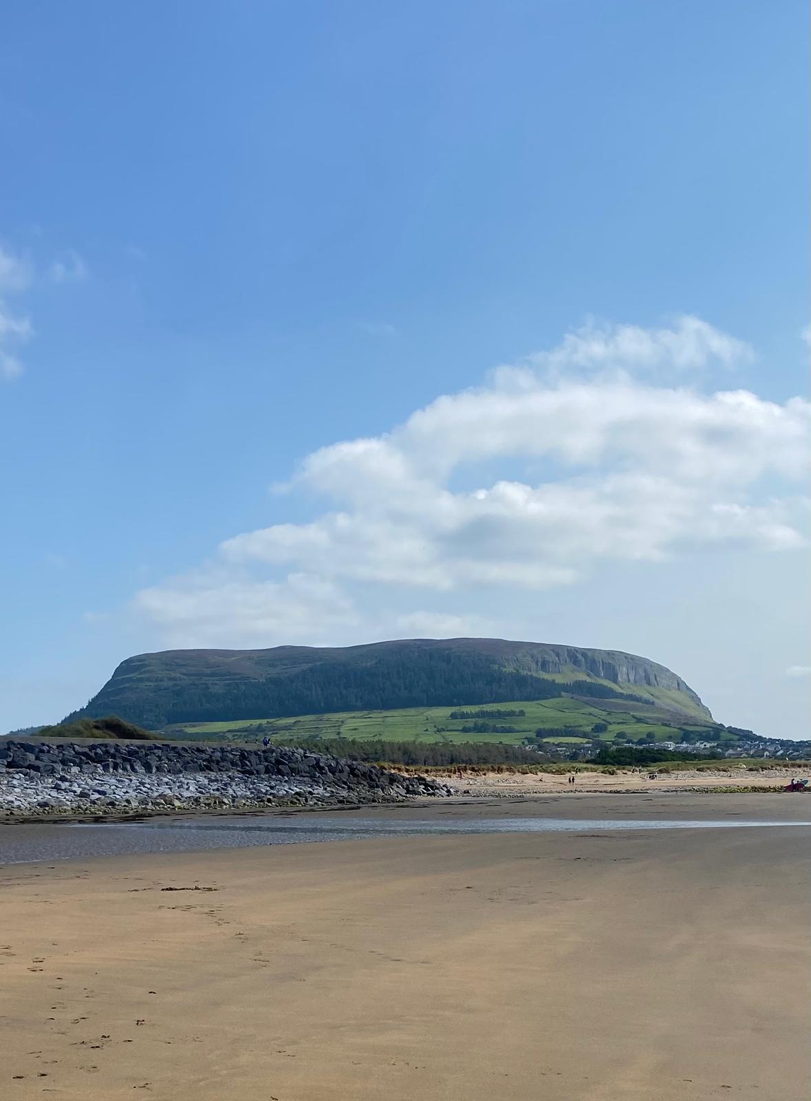 Enclosure in CulleenamoreEnclosure · 1021 yd
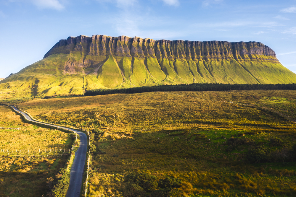 SuperHeritage attraction · 1179 yd
 Strandhill BeachBeach / strand · 1236 yd
 CannonMonument · 1274 yd
 Herdsman’s HutRuins · 1315 yd
 Dolly's Cottagehouse · 1716 yd
 Portavaud PointHeadland · 1.4 mi
 Knocknarea trailWalking route · 1.4 mi
 Killaspugbrone GraveyardRuins · 1.5 mi
 Ballinlig PointHeadland · 1.5 mi
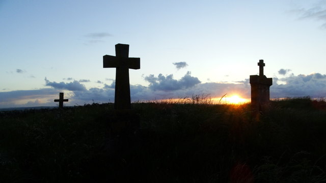 Graveyard in KillaspugbroneGraveyard · 1.5 mi
Other information
Photo: Credit not shown in the picture search · Rights wording not checked; contact us if this picture should be removed