What is recorded here
On edge of S-facing limestone cliff, in estuary to N of Great Island and Brown Island. Not located. Schlichting (1973, 15-16) describes shell deposit 25 feet long and 12 inches thick at centre; heavily overgrown; sherd of 'coarse black pottery' found in rabbit burrow immediately below midden.
The above description is derived from the published 'Archaeological Inventory of County Cork. Volume 2: East and South Cork' (Dublin: Stationery Office, 1994). In certain instances the entries have been revised and updated in the light of recent research.
Date of upload/revision: 14 January 2009
The monument record does not grant public access. Check the route and ask the landowner before entering private land.
- What survives
- Recorded monument
Places near here
 Shell MoundMidden · 604 yd
 Ballyvodock Castle (in Ruins)Castle, tower house · 682 yd
 quay/wharfquay/wharf · 711 yd
 Ballintubbrid Lodgehouse · 891 yd
 Field system in Ballyvodock WestField system · 1004 yd
 Tower WoodForest · 1730 yd
 Bagwells TowerCastle · 1.1 mi
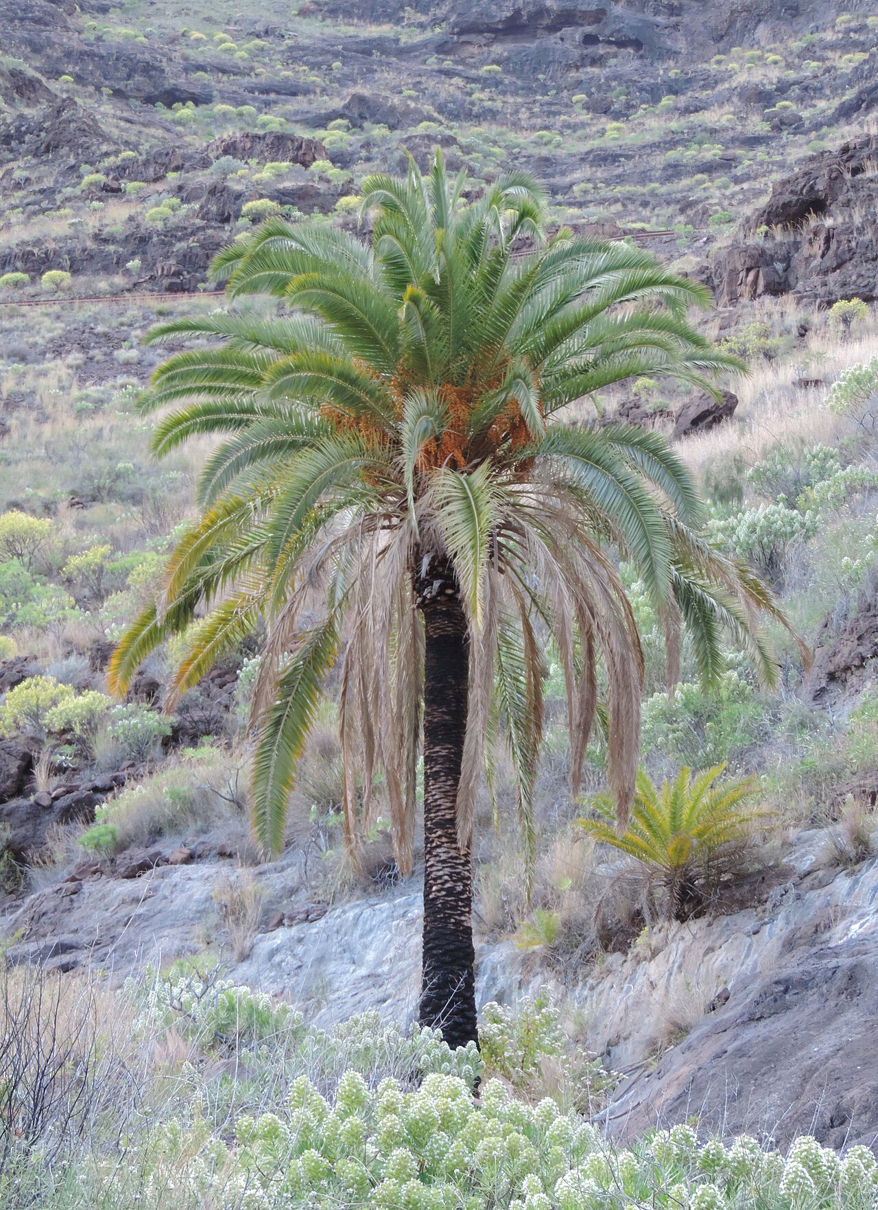 Canary Island date palmCanary Island date palm · 1.4 mi
 Site of old schoolHeritage attraction · 1.5 mi
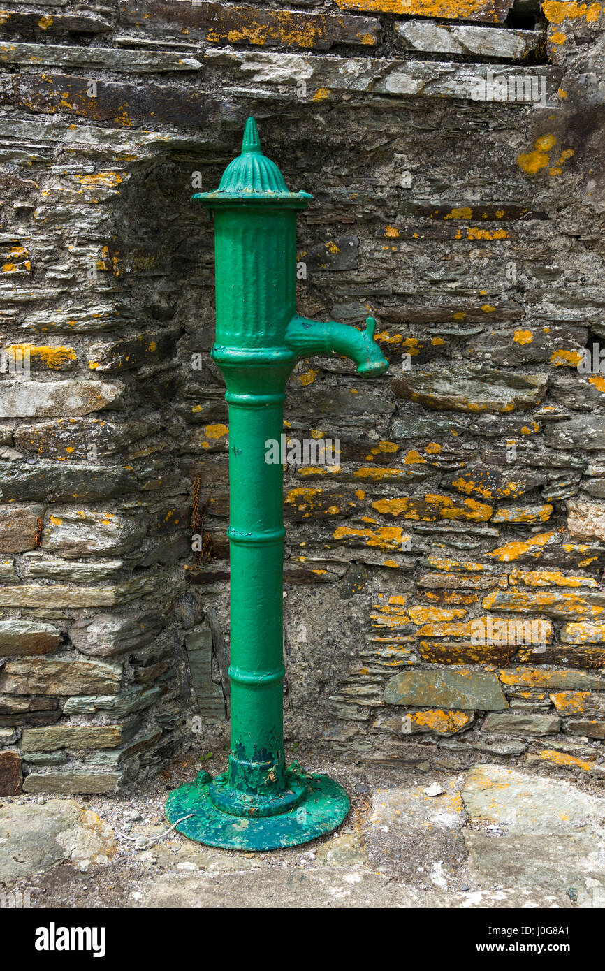 Water PumpHeritage attraction · 1.6 mi
 Rossmore BayBay · 1.7 mi
 Garrankinnefeake GraveyardRuins · 2.2 mi