What is recorded here
Middens containing shells and fish bones have been recorded here (NMI). Nothing was visible on this occasion. The site is an extensive platform of sand just above the beach at Rossillion Bay.
The above description was derived from the 'Archaeological Survey of County Donegal. A description of the field antiquities of the County from the Mesolithic Period to the 17th century.' Compiled by: Brian Lacey with Eamon Cody, Claire Cotter, Judy Cuppage, Noel Dunne, Vincent Hurley, Celie O'Rahilly, Paul Walsh and Seán Ó Nualláin (Lifford: Donegal County Council, 1983). In certain instances the entries have been revised and updated.
Date of upload: 22 September 2008
The monument record does not grant public access. Check the route and ask the landowner before entering private land.
- What survives
- Recorded monument
Places near here
 Promontory fortPromontory fort, coastal · 1438 yd
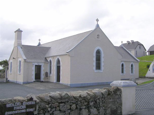 Teach Pobail Naomh Cróine [Saint Crone's Catholic Church]church/chapel · 1534 yd
 Trá an ChaisilBeach / strand · 1676 yd
 Cairn on Cnoc an IolairPublicly named cairn; age not proved by this picture · 1.4 mi
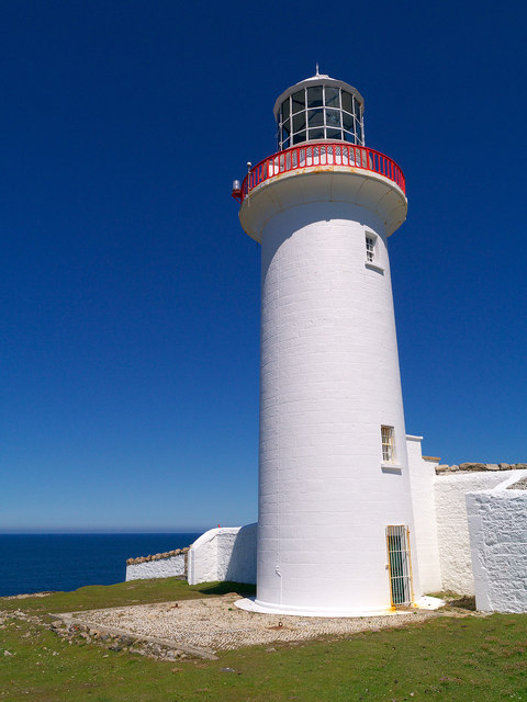 Arranmore / Árainn MhórIsland · 1.7 mi
 An Staca Mór [Stackamore]beacon · 1.7 mi
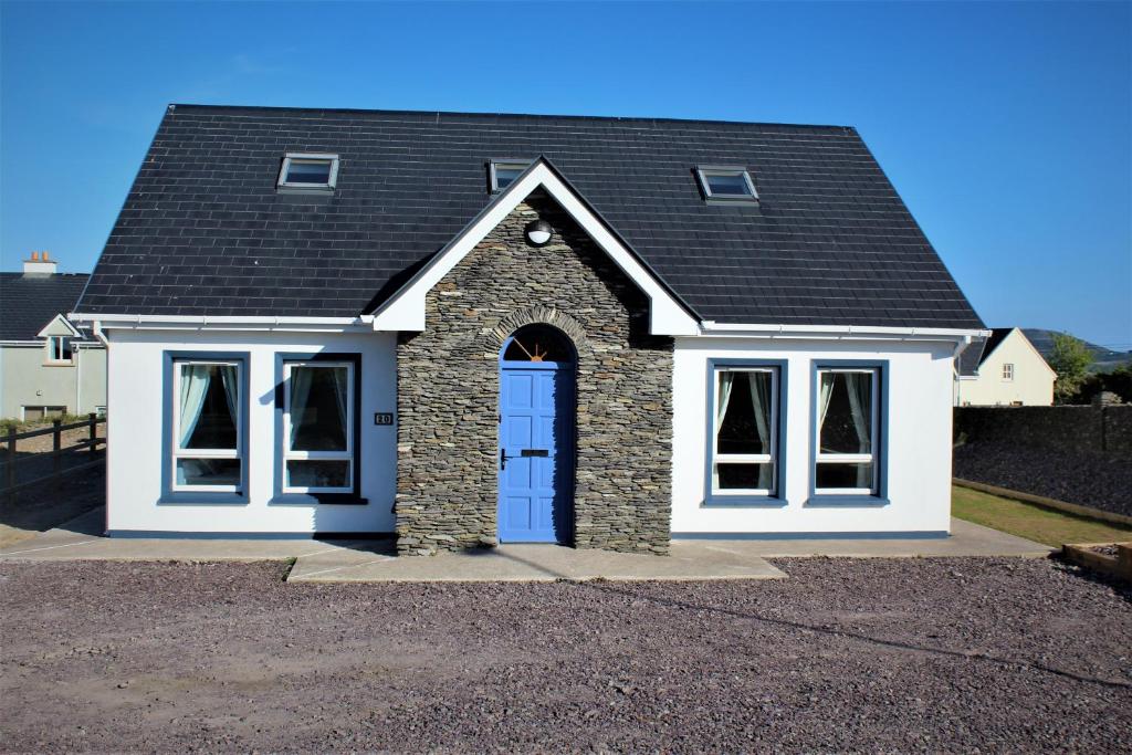 An tOileán GlasIslet · 2.1 mi
 Hook Point / Pointe an DuáinHeadland · 2.2 mi
 Near beachBeach / strand · 2.5 mi
 Rinrawros Point / Rinn RamhroisHeadland · 3.3 mi
 CroaghnamaddyMountain / peak · 6.1 mi
 CarrickfinnOfficial bathing water · 8.4 mi