What is recorded here
Situated towards the SE end of a NW-SE drumlin ridge. This rath is depicted on McCrea’s Map of the county of Monaghan (1793) and on the 1834 and 1907 editions of the OS 6-inch map. It is a circular grass-covered area (diam. 32.4m NW-SE; 29.8m NE-SW) defined by earthen bank (at NE: Wth of base 5.2m; int. H 0.55m; ext.…
Read the whole record
From the National Monuments Service (Archaeological Survey of Ireland) record MO019-009
Places near here
Photo credits
- Brian Lenehan, commons.wikimedia.org
- National Inventory of Architectural Heritage
- Brian Lenehan, Geograph · Creative Commons Attribution-ShareAlike 2.0
- Fintan McTiernan; published by Monaghan GAA, www.flickr.com
- Maker not stated on source page, en.wikipedia.org
- Maker not stated on source page, www.myhighlands.de
- Maker not stated on source page, irishheritagenews.ie
- Fintan McTiernan / Monaghan GAA official Flickr, www.flickr.com
 Cloghan, Monaghan Centre of ExcellenceGAA ground · 396 yd
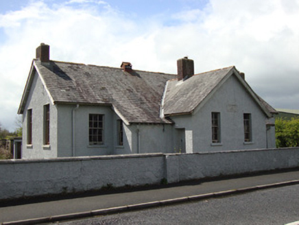 Annyalla National SchoolSchool · 702 yd
Explorer Tom Annyalla National School was nearly sold for a horse in 1929 before someone noticed the classrooms. It replaced an…
 Saint Michael's Catholic ChurchChurch/chapel · 866 yd
Explorer Tom Saint Michael's Catholic Church is involved in a feud between two families over who owns the view from the belfry. It…
 Páirc Na Seamróige, Cremartin ShamrocksGAA ground · 1035 yd
 Fairy fort / earthen ringfort in Tattyreagh NorthFairy fort / earthen ringfort · 1.7 mi
Explorer Tom Fairy fort / earthen ringfort in Tattyreagh North does strange things when nobody's looking. It probably rearranges its…
 mill (water)1.8 mi
Explorer Tom This old mill at Carrickaslane in County Monaghan used to grind corn until the gears got bored and quit in the…
 Fairy fort / earthen ringfort in CoolmannanFairy fort / earthen ringfort · 1.9 mi
Explorer Tom Fairy fort / earthen ringfort in Coolmannan suspects the postman is actually a fairy trying to deliver bad news. A farm…
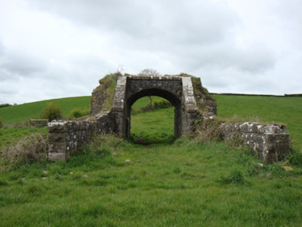 bridge2.0 mi
Explorer Tom Bridge in Tattyreagh South is a railway bridge from 1854 that connects Louth, Monaghan, and Fermanagh, which sounds…
 Fairy fort / earthen ringfort in Cordevlis (cremorne By., Clontibret Par.)Fairy fort / earthen ringfort · 2.0 mi
Explorer Tom Cordevlis’s ringfort is cursed to only annoy people who forget to wave when they pass by. It’s an oval shape that looks…
 Páirc Uí Néill, Doohamlet O'NeillsGAA ground · 2.2 mi
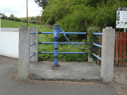 water pump2.4 mi
Explorer Tom Water pump in Doohamlat would post selfie pictures of itself every morning claiming it’s the village’s main social…
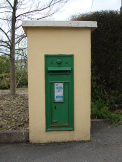 post box2.4 mi
Explorer Tom Post box in Doohamlat is still wearing its Edward VII crown like it’s proud of being British, even though everyone else…
More archaeology and monuments in County Monaghan · All of County Monaghan

What do you know about this place?Tap to add a comment or ask a question