What is recorded here
Excavated (00E0059) as Area 25 of the N25 Kilmacthomas re-alignment. Situated at the N end of a broad S-N spur of Treacy's Hill overlooking the NW-SE Mahon river which is c. 550m to the E. It occupies the same location as Neolithic (WA015-094001-) and Bronze Age (WA015-094002-) settlement.
Two bowl-furnaces were revealed as charcoal and slag-filled pits. One pit (dims. 1.13m x 1m; D 0.43m) had iron slag and produced a C14 determination of cal. AD 420-690. The pit had a channel at one side where the bellows may have been attached. A second furnace just 3m to the E was a pit (dims. 2.2m N-S; 1.4m E-W; D 0.48m) which produced traces of copper and a C14 determination of cal. AD 650-780. A third pit (dims. 2.2m x 1.6m; D 0.3m) just 2m to the S had no traces of burning and may have provided clay for the furnaces. (Tierney and Frazer (2002; Tierney 2008)
Compiled by: Michael Moore.
Date of upload: 17th December, 2010.
The monument record does not grant public access. Check the route and ask the landowner before entering private land.
- What survives
- Recorded monument
Places near here
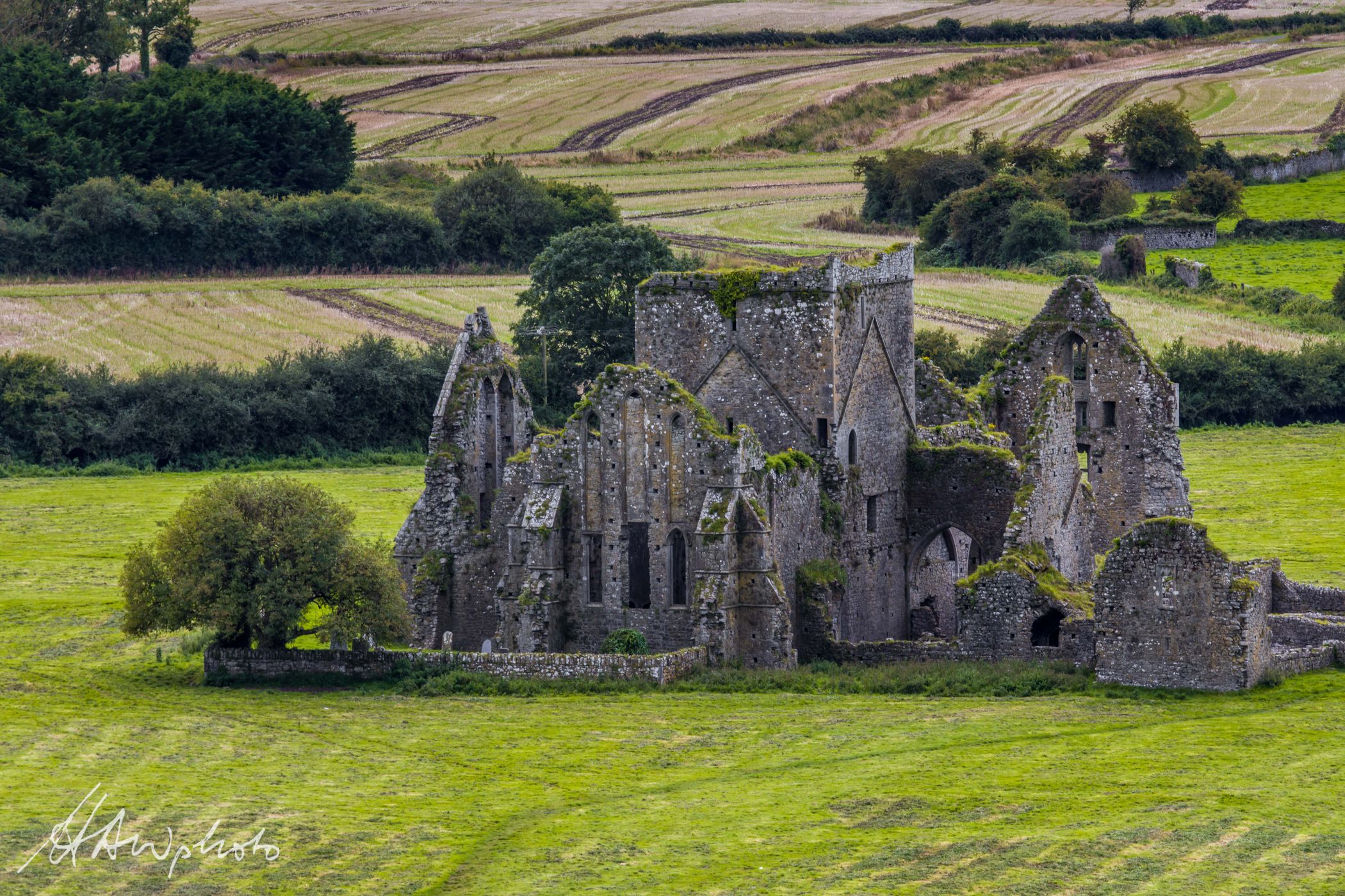 Burnt mound in GraigueshoneenBurnt mound · 500 yd
 8 Arch GalleryGallery · 976 yd
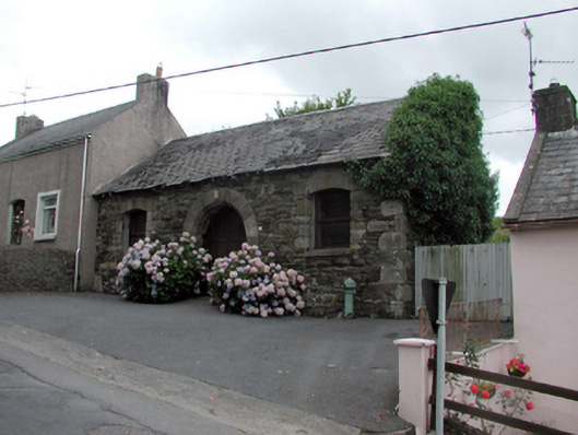 Historic buildingOfficially recorded historic building · 995 yd
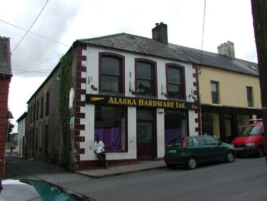 unknownunknown · 998 yd
 Fulacht fia in KilmacthomasFulacht fia · 1004 yd
 Site of Cas.Castle, unclassified · 1145 yd
 Castle (in ruins)Castle, unclassified · 1.2 mi
 Croughaun HillMountain / peak · 3.7 mi
 Crough WoodWood · 3.9 mi
 Kilclooney WoodForest · 4.4 mi
 Copper CoastCoastal geological landscape · 4.6 mi
 Bunmahon Miners' CottagesVisitor information · 4.6 mi