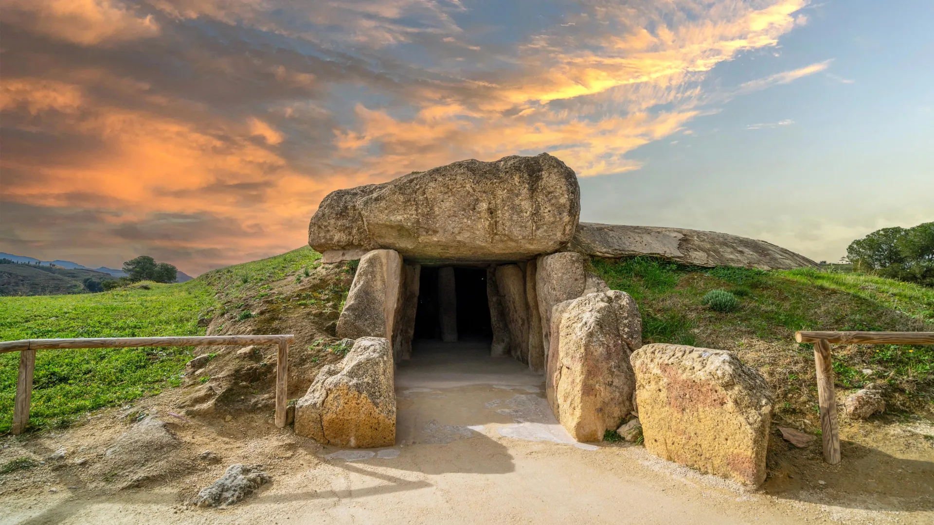
What is recorded here
From the National Monuments Service (Archaeological Survey of Ireland) record DG091-004
Places near here
Photo credits
- National Inventory of Architectural Heritage
- louise price, Geograph · Creative Commons Attribution-ShareAlike 2.0
- louise price, Geograph · CC BY-SA 2.0
- Maker not stated on source page, commons.wikimedia.org
- Maker not stated on source page, www.flickr.com
- Maker not stated on source page, www.vecteezy.com
- Ronnie Nijboer, Wikimedia Commons · CC0
- Malene Thyssen, Wikimedia Commons · CC BY-SA 3.0
- Maker not stated on source page, www.travelandleisureasia.com
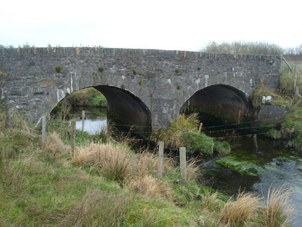 Meentullynagarn BridgeBridge · 1221 yd
Explorer Tom Meentullynagarn Bridge has a sharp V-shaped cutwater that looks like it’s ready to punch the river. I picture the…
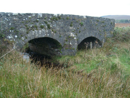 bridge1258 yd
Explorer Tom Bridge in Mín ghiolla charraigh refuses to fall down because it has an ego built from local rubble stone. It’s been…
 Droichead Mín Ghiolla CharraighBridge · 1670 yd
Explorer Tom Droichead Mín Ghiolla Charraigh has three tiny, square-headed arches that look like they were carved by a very serious…
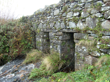 Meengilcarry BridgeBridge · 1.2 mi
Explorer Tom Meengilcarry Bridge crosses a tributary of its namesake river on three low, square-headed spans, built around 1800.…
 Multins BridgeBridge · 1.4 mi
Explorer Tom Multins Bridge has V-shaped stone teeth on its north side, built around 1870. They look like a giant’s collarbone…
 post box1.4 mi
Explorer Tom Post box in Tullinteane has a raised 'VR' cipher and crown on its head. Installed c. 1890, it feels like a very serious…
 Gilbertstown Portal TombPortal tomb · 1.8 mi
Explorer Tom Gilbertstown Portal Tomb sits in a wet, rushy patch where a giant roof slab has slid right over the chamber. It’s a bit…
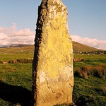 Standing stone in Calhaem (tc Dún Cionnaola)Standing stone · 2.4 mi
Explorer Tom Standing stone in Calhaem is actually called a 'Giant’s Finger Stone' on old maps! I can’t help picturing a giant…
 Killybegs GraveyardCemetery · 3.0 mi
Explorer Tom Killybegs Graveyard was nearly sold for a horse in 1890 because the price tag was written upside down on the signpost…
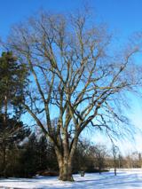 Wych Elm3.3 mi
Explorer Tom Wych Elm in County Donegal would explain the 1800s to a teenager as 'a time when we all had terrible fashion sense and…
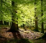 European Beech3.5 mi
Explorer Tom European Beech in County Donegal is a tree that pretends to be from somewhere warmer but lives here anyway. Vikings…
 CastleCastle, unclassified · 3.8 mi
Explorer Tom Castle at Killybegs was probably a McSwyne stronghold. A 1622 record described a ruinous castle beside a stone bawn; an…
More archaeology and monuments in County Donegal · All of County Donegal

What do you know about this place?Tap to add a comment or ask a question