What is recorded here
Muntermellan still holds a low hillock where a massive chamber tomb stood before destruction in 1840. Large slabs formed an eight-foot chamber, topped by a heavy cover slab and buried beneath a cairn. Decayed human bones lay hidden below the soil. The chamber has vanished, but the earth remains marked by the weight of what it once held.
According to Thomas Fagan (1845-8), 'one of those sepulchral graves commonly called Grania's Bed' was destroyed in this townland in 1840. Some stones of the structure still lay on the ground at the site, a slight hillock, when he visited the area in 1845. He was told that it had been built of large slabs set on edge and that it measured, internally, c. 8 feet (c. 2.4m) by 4 feet (c. 1.2m) by 4 feet (c. 1.2m) high and was roofed by a 'cover slab of great size and weight'. It had, apparently, stood in a cairn. Decayed bones, supposed to be human, were reputedly found 'at some depth' beneath the surface of the grave. The location of this site is not shown on OS 6-inch maps. Fagan has recorded that it stood on the holding of Thomas Durnin, perhaps the Thomas Durneen listed as occupier of a parcel of land of c. 82 acres (c. 33.2ha) in this townland in or around 1857 (Griffith 1848-64). The nature of the site remains uncertain.
Fagan 1845-8, book 1, 11.
The above description was published in the 'Survey of the Megalithic Tombs of Ireland. Volume VI, County Donegal.' Compiled by: Eamon Cody (Dublin: Stationery Office, 2002).
Date of upload: 22 September 2008
Megalithic tomb, likely a portal dolmen dating to the Neolithic period. Its identification as "Grania's Bed" links it to early Irish legend and local tradition, though the structure was largely destroyed in the 19th century.
This remains an important historical record, but the official description says the monument is no longer visible or has been destroyed. The monument record does not grant public access. Check the route and ask the landowner before entering private land.
- What survives
- No visible remains or recorded as destroyed
Places near here
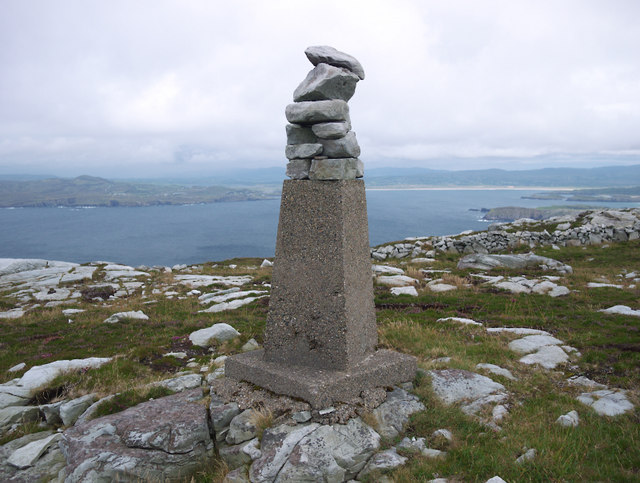 CroaghnamaddyMountain / peak · 852 yd
 CrocksheeMountain / peak · 1435 yd
 Duncap Isle Coastal Promontory FortPromontory fort, coastal · 1.0 mi
 KillahoeyOfficial bathing water · 1.1 mi
 Former Doongonaway EnclosureEnclosure · 1.1 mi
 Lockheed Hudson bomber 1942Memorial · 1.1 mi
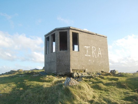 Horn Head Lookout Postwatch tower, signal tower · 1.3 mi
 Castle (Site of)Castle, unclassified · 1.3 mi
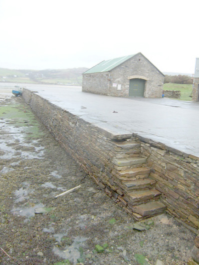 Dunfanaghy Pierpier/jetty · 1.4 mi
 Kill Old Church GraveyardGraveyard · 1.7 mi
 Cliffs at Traghlisk PointPublicly named cliff or headland · 1.8 mi
 Horn Headcoast · 1.9 mi