
What is recorded here
There is no trace of the 'Doongonaway' marked on the 2nd and 3rd editions of the OS 6-inch maps. The site is an elevated knoll of rock measuring about 20m across its uneven top. There are excellent views from the site especially over Sheephaven Bay to the E. The land is light-soiled with rock outcrop occurring and is suitable for grazing. The location is typical of many sites in NW Donegal and the topography indicates the probability of a cashel.
The above description was derived from the 'Archaeological Survey of County Donegal. A description of the field antiquities of the County from the Mesolithic Period to the 17th century.' Compiled by: Brian Lacey with Eamon Cody, Claire Cotter, Judy Cuppage, Noel Dunne, Vincent Hurley, Celie O'Rahilly, Paul Walsh and Seán Ó Nualláin (Lifford: Donegal County Council, 1983). In certain instances the entries have been revised and updated.
Date of upload: 22 September 2008
A local fairy fort (ringfort/rath); wider significance not recorded.
This remains an important historical record, but the official description says the monument is no longer visible or has been destroyed. The monument record does not grant public access. Check the route and ask the landowner before entering private land.
- What survives
- No visible remains or recorded as destroyed
Places near here
 Claggan Stone RingfortFairy fort / stone ringfort · 763 yd
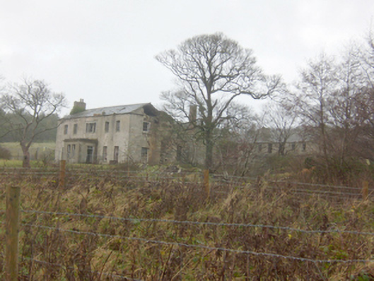 Horn Head Housecountry house · 776 yd
 Hornhead Bridgebridge · 1435 yd
 Castle (Site of)Castle, unclassified · 1628 yd
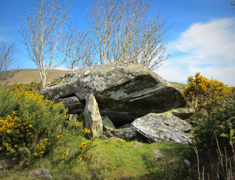 Claggan Stone Enclosure beside Dermot and Grania's BedEnclosure · 1668 yd
 CrocksheeMountain / peak · 1675 yd
 Trá Phoill a GhuillBeach / strand · 1.2 mi
 Lockheed Hudson bomber 1942Memorial · 1.3 mi
 KillahoeyOfficial bathing water · 1.4 mi
 Coastguard HillMountain / peak · 1.4 mi
 Kill Old Church GraveyardGraveyard · 1.4 mi
 Cliffs near Pollaguill BayPublicly named cliff or headland · 1.6 mi
Other information
Photo: Credit not shown in the picture search · Rights wording not checked; contact us if this picture should be removed