
What is recorded here
Duncap Isle is a steep-sided coastal promontory fort in County Donegal, Ireland, where a low grassed-over stone wall still marks the edge of a subcircular refuge. Its narrow isthmus, stone-defined path and rock-cut stairs suggest entry was meant to be watched, limited and difficult. The sea supplied the defences on three sides, while the landward wall and entrance kept the approach narrow enough for a small group to hold.
Internal Dimensions 55m NE-SW, 32m NW-SE. Named 'Duncap Isle' on the 3rd edition of the OS 6-inch map the site is a steep-sided subcircular natural promontory. There is a low grassed-over stone wall around the perimeter. This is higher (.65m) on the landward side. About midway on this side also is an entrance 1.1m wide. The site is approached by a narrow isthmus which leads to a stone-defined path in turn leading to 'stairs' cut in the natural rock rising to the enclosure, there are several other defensive features guarding the site. It is overlooked by higher ground on the land side. This is an area of wet rough grazing.
The above description was derived from the 'Archaeological Survey of County Donegal. A description of the field antiquities of the County from the Mesolithic Period to the 17th century.' Compiled by: Brian Lacey with Eamon Cody, Claire Cotter, Judy Cuppage, Noel Dunne, Vincent Hurley, Celie O'Rahilly, Paul Walsh and Seán Ó Nualláin (Lifford: Donegal County Council, 1983). In certain instances the entries have been revised and updated.
Date of upload: 22 September 2008
A coastal promontory fort with internal dimensions of 55m NE-SW and 32m NW-SE, likely dating to the early medieval period, featuring a low, grassed-over stone perimeter wall. The site, named 'Duncap Isle' on the 3rd edition OS 6-inch map, may have been associated with local folklore surrounding fairy forts, though specific traditions are not recorded.
The monument record does not grant public access. Check the route and ask the landowner before entering private land.
- What survives
- Recorded monument
Places near here
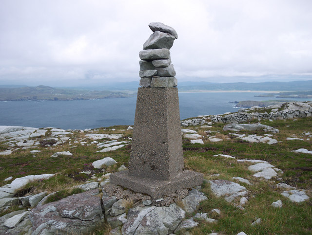 CroaghnamaddyMountain / peak · 1017 yd
 CrocksheeMountain / peak · 1.3 mi
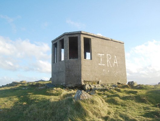 Horn Head Lookout Postwatch tower, signal tower · 1.4 mi
 Cairn, Coastguard HillPublicly named cairn; age not proved by this picture · 1.4 mi
 Horn Head Signal TowerRuins · 1.5 mi
 Cliffs at Traghlisk PointPublicly named cliff or headland · 1.7 mi
 Horn Head Coastal Promontory FortPromontory fort, coastal · 1.8 mi
 Horn Headcoast · 1.8 mi
 KillahoeyOfficial bathing water · 1.9 mi
 Lockheed Hudson bomber 1942Memorial · 2.0 mi
 Castle (Site of)Castle, unclassified · 2.3 mi
 Mc Swynes CastleCastle, unclassified · 2.6 mi
Other information
Photo: Credit not shown in the picture search · Rights wording not checked; contact us if this picture should be removed