What is recorded here
J. O'Donovan, writing c. 1841 (O'Flanagan 1929, 70-1), followed by Borlase (1897, vol. 1, 57), says that the townland of Labbanacallee is named after a 'dolmen'. If so, it remains unlocated, or it may be confused with the wedge tomb at Labbacallee, Co. Cork (CO027-086----), c. 16km to the W.
Borlase, W. C. (1897) The dolmens of Ireland. 3 vols. Chapman and Hall, London.
O'Flanagan, M. (Compiler) (1929) Letters containing information relative to the antiquities of the county of Waterford collected during the progress of the Ordnance Survey in 1841. Typescript. Bray.
Compiled by: Michael Moore
Date of upload: 16 February 2011
The monument record does not grant public access. Check the route and ask the landowner before entering private land.
- What survives
- Recorded monument
Places near here
 KnocknaloughMountain / peak · 1096 yd
 Burial ground in Ballynamuddagh (condons and Clongibbon By.)Burial ground · 1.8 mi
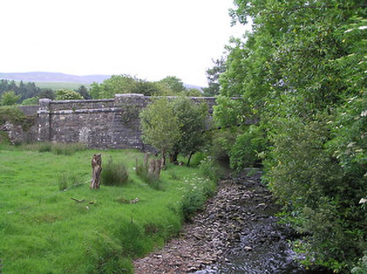 Kingston Bridgebridge · 1.9 mi
 Mocollop Picnic SitePicnic place · 2.0 mi
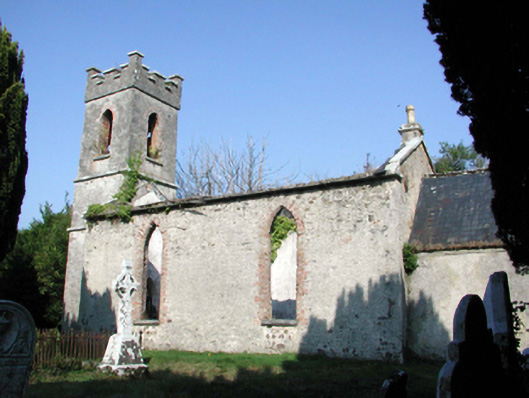 Saint Mary's Church (Lismore and Mocollop)church/chapel · 2.1 mi
 Saint Micheal's Holy WellSpring · 2.1 mi
 Tobernahulla WellHoly well · 2.1 mi
 KnockadullaunMountain / peak · 2.2 mi
 Mocollop Castle (in ruins)Castle, Anglo-Norman masonry castle · 2.3 mi
 Castle (in Ruins)Castle, tower house · 3.5 mi
 Ballard WaterfallWaterfall · 4.7 mi
 Natural heritage of CoolagowanVisitor information · 4.9 mi