What is recorded here
Megalithic tomb in Knockcurraghbola Commons is a megalithic tomb in Knockcurraghbola Commons, County Tipperary, Ireland. It occupies a low rise overlooking a river valley in an upland region. The chamber runs south-southeast to north-northwest, measures 1.35 metres long and 0.85 metres wide at the open south-southeast end, and narrows slightly towards the opposite end. Four low stones form it: one on the more westerly side, one at the north-northwest end, and two on the more easterly side, a longer outer and shorter inner example.
Situated on a low rise of ground overlooking a river valley in an upland region. A chamber, 1.35m long (SSE-NNW) is 0.85m wide at the open SSE end and narrows slightly towards the opposite end. It is formed by four low stones, one at the more westerly side, one at the NNW end, and there are two, a longer outer and shorter inner example, at the more easterly side. The shorter of the latter two stones is skewed so as to narrow the rear of the chamber. There is a largely concealed stone at the inner face of the last. The structural stones are relatively thin slabs and none rises more than 0.25m above ground level. This seems to be a large cist.
Compiled by: Caimin O'Brien.
Date of upload: 22 September 2008
Portal dolmen; Neolithic period. Its orientation and positioning suggest ceremonial or ritual significance related to the landscape and water features.
The monument record does not grant public access. Check the route and ask the landowner before entering private land.
- What survives
- Recorded monument
Places near here
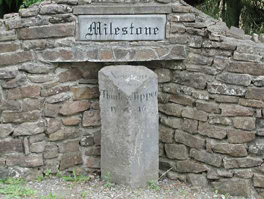 milestone/milepostmilestone/milepost · 1163 yd
 KnockmaroeMountain / peak · 1.1 mi
 Hut site in AughvallydeagHut site · 1.2 mi
 Wedge tomb in Knockcurraghbola CommonsWedge tomb · 1.2 mi
 KnocknabanshaMountain / peak · 1.6 mi
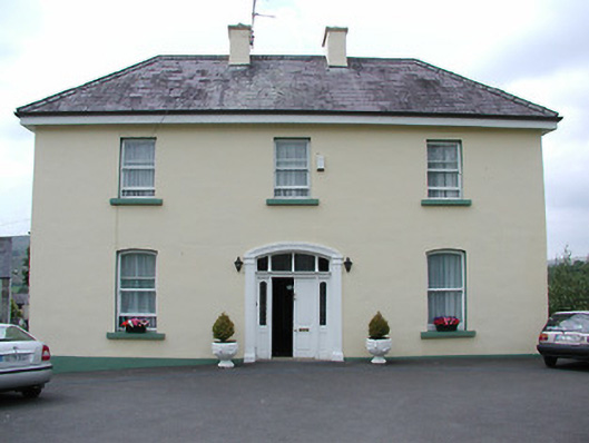 presbytery/parochial/curate's housepresbytery/parochial/curate's house · 2.4 mi
 Site of Cashlauncreen CastleCastle, tower house · 2.4 mi
 CastleCastle, ringwork · 5.4 mi
 Drum WoodWood · 5.8 mi
 Gortard WoodForest · 7.4 mi
 Silvermines ViewpointViewpoint · 8.9 mi
 Our Lady Assumed into HeavenMemorial · 9.8 mi