What is recorded here
In flat pasture on shoulder of SE-facing slope; possible stone row (9845) in same townland. Ó Ríordáin (1989, 16, 18) records a 'collapsed Dolmen' known as the 'big stones'. Stones removed many years ago. No visible surface trace. Exact nature of site uncertain.
From the National Monuments Service (Archaeological Survey of Ireland) record CO021-162
The monument record does not grant public access. Check the route and ask the landowner before entering private land.
- What survives
- Recorded monument
Places near here
Photo credits
- National Inventory of Architectural Heritage
- Jonathan Thacker, Geograph · CC BY-SA 2.0
- Colin Park, Geograph · CC BY-SA 2.0
- Eeno11, Wikimedia Commons · CC BY-SA 3.0
- Mike Searle, Wikimedia Commons · CC BY-SA 2.0
- Mike Searle, Geograph · CC BY-SA 2.0
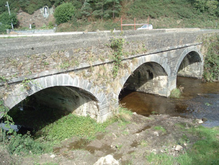 Kiskeam BridgeBridge · 1085 ydFulacht fia in Glenreagh (duhallow By.)Fulacht fia · 1564 ydFulacht fia in Doonasleen NorthFulacht fia · 1.2 mi
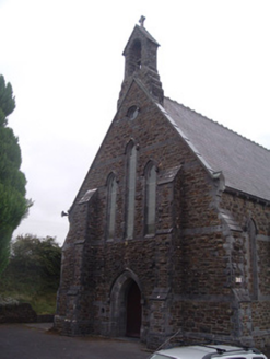 Saint Patrick's Catholic ChurchChurch/chapel · 2.8 miNohaval WoodWood · 5.2 mi
 St. Patrick's ChurchVisitor information · 8.9 mi
 Claragh MountainMountain / peak · 9.0 mi
 Three CountiesPicnic place · 9.0 mi
 Caherbarnagh nw TopMountain / peak · 9.3 mi
 Rowan9.6 mi
_-_geograph.org.uk_-_3037263.jpg/250px-Castles_of_Munster,_Kilmurry,_Kerry_(2)_-_geograph.org.uk_-_3037263.jpg "Photo: Mike Searle, Wikimedia Commons · CC BY-SA 2.0") Kilmurry CastleCastle · 9.7 mi
Kilmurry CastleCastle · 9.7 mi Castle (in ruins)Castle, unclassified · 9.7 mi
More archaeology and monuments in County Cork · All of County Cork
What do you know about this place?