
What is recorded here
Kilmurry Castle gave the parish of Ballincuslane its name, but the FitzGeralds left behind a brutal box of stone instead of a grand palace. Walls nearly three metres thick still hold gunloops, kitchen fires and private chambers, proving the house was built to resist as much as to impress. The vanished timber staircase and destroyed corner towers suggest a building that kept changing, adapting and refusing to die quietly.
Kilmurry Castle in the parish of Ballincuslane (Baile an Chaisleáin) was known in medieval period as the castle of Ballincuslane from which the parish is named (OSL). The present castle ruins were described by Salter (2004, 104) as consisting of; 'A wing 7.2m wide containing the entrance and presumably also a vanished timber staircase projects 6.7m from the SE side of a main block 20m by 12m over walls 2.8m thick having many gunloops in the lowest level, where there is a kitchen fireplace at the NE end. The second storey seems to have been subdivided into a main hall with a fireplace on the NW side and a private room at the NE end with its own fireplace and a latrine with an angle loop in the east corner. The third storey was also subdivided and had a room in a destroyed bartizan on the south corner, whilst there was a bartizan at wall-walk level upon the west corner. The castle belonged to the FitzGeralds'.
See attached photographs of Kilmurry Castle courtesy of and ©Copyright Mike Searle accessible at https://www.geograph.ie/photo/6277266
See attached ground plan of T-Plan castle or fortified house courtesy of the Castleisland District Archaeological Survey
Compiled by: Caimin O'Brien
Date of upload: 22 April 2022
Kilmurry Castle was built in the medieval period and served as a local stronghold associated with the parish of Ballincuslane. It is remembered for its historical role in the region and its connection to early Irish ecclesiastical and secular settlements.
The monument record does not grant public access. Check the route and ask the landowner before entering private land.
- What survives
- Recorded monument
Places near here
 Kilmurry CastleCastle · 2 yd
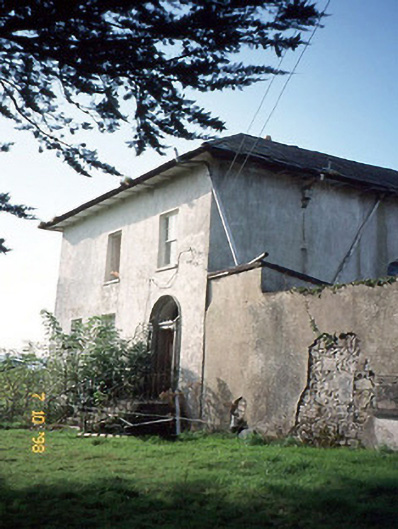 Kilmurry Househouse · 272 yd
 Parknaskagh FortArchaeological place · 368 yd
 LisnagreeArchaeological place · 448 yd
 Kilmurry Church (in ruins)Church · 644 yd
 Ardnacreach CastleCastle · 1653 yd
 KnockateeMountain / peak · 2.1 mi
 Mount EagleMountain / peak · 2.3 mi
 Crag CaveCave · 2.9 mi
 Barna BogForest · 6.2 mi
 PouldermotCave · 10 mi
 Nohaval WoodWood · 12 mi
Other information
Photo: Mike Searle · CC BY-SA 2.0